Sources: Utah Legislature · Office of the Great Salt Lake Commissioner · Division of Water Rights · Division of Water Resources · USGS · Great Salt Lake Strike Team · Utah DEQ — 88 primary documents mirrored, checksum-verified, and unmodified. Measured data is labeled separately from advocacy claims and political framing. How we built this →
Official video, hosted by Utah News so playback doesn't depend on any other platform.
All 1,995 pages — enrolled bills, fiscal notes, the Commissioner's strategic plan, the Compass Minerals agreement, the distribution management plan, Strike Team data reports, and peer-reviewed dust science — are full-text searchable, with computer-vision OCR applied to scanned bills. Try acre-feet, severance tax, 4198, brine shrimp, or arsenic.
Searches document text, titles, and descriptions. Quoted phrases and multiple words supported.
The basin as a three-dimensional object, built from public elevation data with satellite imagery draped over it — the same model that ships inside the Utah News iOS app. Drag to orbit, scroll or pinch to zoom.
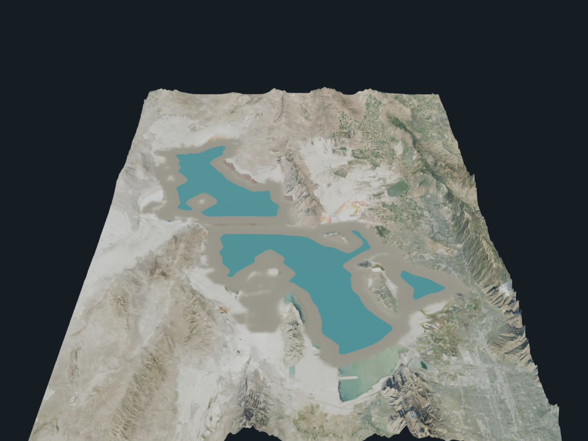
On iPhone and iPad, tap the AR button to place the lake on a table in front of you.
Terrain elevation: USGS/SRTM. Surface imagery: USDA NAIP. The water surface is a modeled plane included for shape and orientation — it is not a measurement of any particular year's lake level. For measured elevations, see the USGS records in the documents above.
Official briefings from the Commissioner and the Strike Team, public-media documentaries, and satellite imagery of four decades of change. Inclusion is not endorsement.