The Black Canyon Fire has grown to 3,563 acres according to a notice posted to InciWeb. The fire, which was caused by lightning, has a 36 percent containment rate and has prompted the Emery County Sheriff’s Office to maintain a GO evacuation order for the Reeder Subdivision.
Two 21-person crews from Australia arrived to assist with fire management. These specialized crews provide support as the United States has been in a Preparedness Level 5 for 29 days.
Recent drone flights using infrared technology identified areas holding heat, particularly along the southern end of the fire. While these areas may not be actively flaming, the persistent heat indicates portions of the fire remain capable of smoldering and becoming active again. Air operations will focus on dropping water in these inaccessible areas.
Public interference has impacted firefighting efforts, with the closure area being entered dozens of times by members of the public. These violations can force firefighters and aircraft to halt operations. Additionally, the use of recreational drones in the restricted flight area forces aircraft to shut down wildfire air operations.
The Manti-La Sal National Forest issued an updated temporary closure, Forest Order #04-10-26-02-03, for portions of the Ferron Ranger District. This closure includes Millers Flat (FS Road 0014) and Spring City Canyon Road (FS Road 0036).
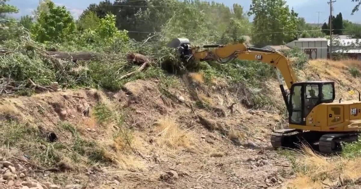
Weather conditions are expected to follow a warming and drying trend, which may increase fire activity in areas holding heat. Residents are advised to drive with caution due to heavy equipment and fire vehicles working on narrow roads.
For information regarding smoke and air quality, the AirNow Fire and Smoke Map provides updates. Residents should follow all evacuation instructions from official sources and monitor the Emery County Sheriff’s Office Facebook page for updates.