The Utah Avalanche Center reported on November 6, 2026, that early-season mountain conditions in the Salt Lake Area include a shallow snowpack with risks of avalanches on specific slopes. Recent weather patterns have deposited significant snow on northern aspects while warmer temperatures cause melting on southern slopes.
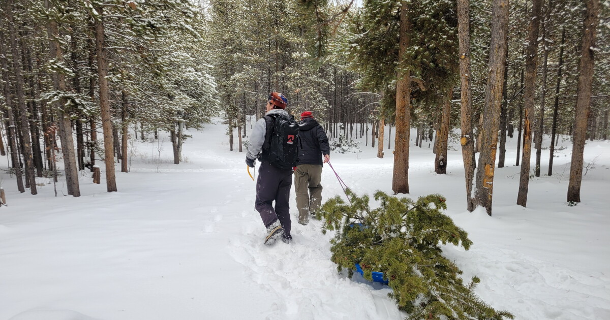
Weather patterns have resulted in 12-18 inches of settled snow on northerly slopes above approximately 9,500 feet following a storm during Halloween weekend. Conversely, snow on southerly-facing slopes continues to melt off. A prolonged period of high pressure is settling over the Western US, bringing clear skies and warmer temperatures to the region through much of the upcoming week. Daytime temperatures are expected to rise into the upper 30s and low 40s degrees Fahrenheit, while overnight temperatures are expected to drop into the 20s degrees Fahrenheit.
The primary avalanche concern involves northwest-, north-, and northeast-facing slopes above 9,500 feet, where new snow sits on old, faceted snow. This risk is present in areas including Alta Ski Area, Butler Fork/Gobblers Knob in Big Cottonwood Canyon/Millcreek, Peak 10,420 feet in Big Cottonwood Canyon, the Park City Ridgeline, and Upper Little Cottonwood Canyon. Because of the shallow snowpack, rocks, stumps, and downed trees sit just below the surface, meaning even small avalanches can have serious consequences.
Regarding recent activity, natural and human-triggered slides occurred on steep slopes above 9,000 feet in Collins Gulch on Sunday, November 1. Additionally, a skier-triggered wet loose avalanche occurred on Eddy’s High Nowhere on Sunday, November 1, which grew as it ran and left a large debris pile on the summer road. As of 7 a.m. on Wednesday, November 4, Alta Ski Area was open to uphill travel.
Weather models suggest the current ridge of high pressure may break down by late this coming week, which could lead to a return of unsettled weather. The Utah Avalanche Center noted that snow that weakens on northerly-facing slopes during extended dry periods can become a buried weak layer once the next storm arrives.
The Utah Avalanche Center has scheduled the 19th Annual Professional Snow and Avalanche Workshop (PROSAW) for Saturday, November 7. The 19th Annual Utah Snow and Avalanche Workshop (USAW) is scheduled for Saturday, December 5.