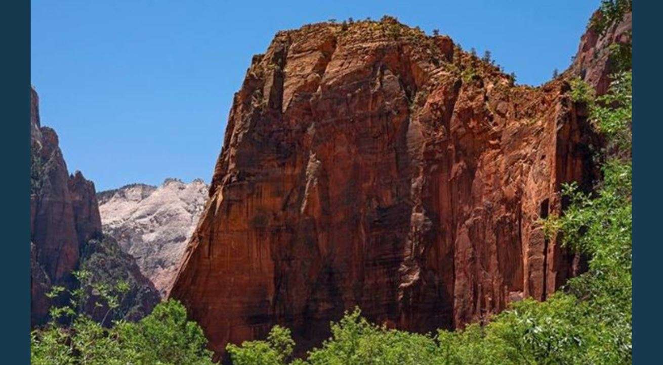
A flood watch remains in effect for large portions of Utah and parts of Idaho through Monday afternoon as the remnants of Tropical Storm Rachel bring heavy rainfall and increased flash flooding risks across the region. The National Weather Service warned on Saturday, Oct. 10, that excessive runoff could impact rivers, creeks, and low-lying areas, particularly near recent burn scars and saturated soils.
Heavy Rainfall and Tropical Remnants
The arrival of the remnants of Tropical Storm Rachel is expected to bring anomalously high moisture to the region, according to the National Weather Service Salt Lake City. This moisture is forecasted to cause a prolonged rainfall event, with some areas in northern Utah potentially seeing heavier rainfall totals than others due to interaction with a frontal boundary.
In northern Utah, the rainfall event is expected to be particularly impactful. The National Weather Service noted that moisture interacting with a frontal boundary across far northern Utah may yield locally heavier rainfall totals. This combination is expected to cause areal flooding across northern Utah throughout the weekend.
Flash Flooding and Burn Scar Risks
Flash flooding remains a significant concern for several regions, especially where recent burn scars have been identified. The National Weather Service identified several specific burn scars at risk, including Forsyth, Cottonwood, Silver King, France Canyon, and Monroe Canyon.
Excessive runoff from these areas could result in flooding of rivers, creeks, streams, dry washes, and slot canyons. Residents and travelers are cautioned that flooding may occur in poor drainage and urban areas, as well as in slickrock areas. The National Weather Service warned that even if rainfall is not extreme, the presence of saturated soils and prior burn scars increases the likelihood of flash flooding.
Affected Areas in Utah
The flood watch covers a vast area of Utah. In southern and central Utah, the watch includes locations such as Bryce Canyon City, Escalante, Springdale, Emery, Richfield, Goblin Valley, Beaver, Mt Pleasant, Torrey, Bullfrog, Joes Valley, Castle Dale, Circleville, Hanksville, Koosharem, Ephraim, Fish Lake, St George, Salina, Big Water, Hurricane, Milford, Scipio, Indian Canyon, Scofield, Green River, Manti, Cedar City, Ivins, Loa, Brian Head, Fillmore, Price, Kanab, Alton, Cove Fort, Panguitch, and Nephi. This also encompasses the Capitol Reef National Park and the Glen Canyon Recreation Area near Lake Powell.
In northern and western Utah, the watch includes the Salt Lake Valley, Utah Valley, Cache Valley, and the Wasatch Back. Other affected areas include Provo, Ogden, Logan, Salt Lake City, Payson, Grantsville, Heber City, Park City, Bountiful, Tooele, and the Wasatch Mountains. The watch also extends to the Great Salt Lake Desert, the Western Uinta Mountains and Basin, and the Bear Lake and Bear River Valleys.
Impacts in Idaho
The weather threat extends into eastern Idaho, where a flood watch is also in effect through Monday afternoon. This includes the Sun Valley Region and the Wood River Foothills.
In Idaho, storm total rainfall amounts of 1 to 2 inches are possible, with localized amounts reaching closer to 3 inches in certain spots. The National Weather Service in Pocatello reported that a prolonged period of rainfall is expected across eastern Idaho throughout the weekend. This rainfall is being driven by an upper low moving into the Pacific Northwest combining with tropical moisture from Tropical Cyclone Rachel.
Specific Idaho areas under the watch include American Falls, Bone, Galena, Lava Hot Springs, Island Park, Idaho Falls, Grace, Soda Springs, Preston, Burley, Wayan, Almo, Richfield, Swan Valley, Oakley, Emigration Summit, Albion, Shelley, Henry, Downey, Victor, Kilgore, Hailey, St. Charles, Bellevue, Holbrook, Shoshone, St. Anthony, Montpelier, Ashton, Malta, Edie School, Thatcher, Rexburg, Dubois, Picabo, Sun Valley, Ketchum, Spencer, Small, Inkom, Mud Lake, Driggs, Craters of the Moon National Monument, Carey, Idaho Falls, Rupert, Heyburn, Tetonia, Blackfoot, and McCammon.