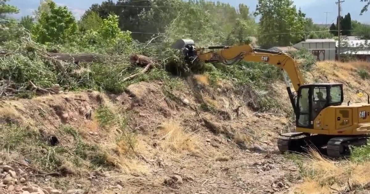
A temporary area closure will be in place August 19 through September 2, 2026 for North Fork Sheep Creek as Utah Division of Wildlife Resources continues a native cutthroat trout restoration project using rotenone. The area within 20 feet of North Fork Sheep Creek will be closed during treatment. This closure is to allow ground crews to work safely in and around the treated waters.
Alert Start Date: July 30, 2026
Alert End Date:
September 2, 2026
Order Number: 0401-26-01-04
Contact Information
Contact Email:
SM.FS.ASHLEY.PAO@USDA.GOV
Associated Documents
Forest Order # 0401-26-01-04
Forest Order
U.S. Department of Agriculture, U.S. Forest Service
Ashley National Forest
Flaming Gorge Ranger DistrictNorth Slope Colorado River Cutthroat trout restorationNorth Fork Sheep CreekPROHIBITIONSPursuant to 16 U.S.C. § 551 and 36 C.F.R. § 261.50 (a), the following is prohibited on the National Forest System (NFS) lands in the Flaming Gorge Ranger District, Ashley National Forest, described below and shown on the attached map incorporated into this Order as Exhibit A (the “Described Area”):To go into or be upon the area described below, which is closed for the protection of
public health and safety. [Title 36 CFR 261.53(e)]EXEMPTIONSPursuant to 36 C.F.R. § 261.50(e), the following persons are exempt from this Order:Persons with Forest Service Permit No. FS-7700-48 (Permit for Use of Roads,
Trails, or Areas Restricted by Regulation or Order), specifically exempting them
from this Order or a written determination by a Forest Service authorized officer
that a permit is not required under 36 C.F.R. § 251.50(e)(1) or (2)Any Federal, State, or Local Officer, or member of an organized rescue or
firefighting force in the performance of an official duty.DESCRIBED AREAWithin 20 feet of the following waters: North Fork Sheep Creek. The legal description for these waters is as follows: Township 2 North, Range 17 East, sections 22, 27, 28, 32, and 33, Range 18 East, sections 16,17, 18, 19, 20, 21, 24, 42, and 47; and Township 1 North Range 17 East, section 5 (Salt Lake City Baseline and Meridian). The area above described is within the proclaimed and administrative boundaries of the Ashley National Forest, within Daggett County, State of Utah. (See attached map)PURPOSEThe purpose of this Order is to protect public health and safety as the Forest Service and the State of Utah carry out planned rotenone treatments to the area.IMPLEMENTATIONThis Order shall be in effect from 19 August 2026 at 0700 through 2 September at 0700, unless rescinded.A map identifying the Described Area is attached and made part of this Order as Exhibit A. For a digital version of this Order and Exhibit A, go to https://www.fs.usda.gov/r04/ashley/alertsUnless otherwise expressly defined in this Order, the terms used in this Order are defined by the regulations of the Secretary of Agriculture, 36 C.F.R. Chapter II, Parts 200-299. If there are terms in this Order that are not expressly defined in the Order or 36 C.F.R. Chapter II, Parts 200-299, their meaning shall be determined by their plain language definitions.A violation of the above prohibitions is punishable as a Class B misdemeanor by a fine of not more than $5,000 for individuals and $10,000 for organizations, or by imprisonment for not more than six months, or both. 16 U.S.C. § 551; 18 U.S.C. §§ 3559, 3571, and 3581.Contact the Flaming Gorge Ranger District, 25 West Highway 43, Manila Utah, (435) 784-3445, and Ashley National Forest Supervisor’s Office, 355 North Vernal Avenue Vernal, Utah, (435) 789-1181, for more information about this Order.This Order supersedes any previous Orders prohibiting the same or similar acts in the same Described Area.Signed and issued on 7/28/2026
Maps
Images below will open full size in a new window.
Closure Area Map