THE WIRE · UPDATED 9:30 AM MDT No story is too small.
Multi-SourceBluff

Evacuation Order Lifted for Bluff, Utah

Utah.News 2 sources cited 1 primary Primary: waterdata.usgs.gov Details

How this story was published

Published automatically from 2 public sources cited; not yet reviewed by the desk. Tell us if something is wrong ↗

Primary source

waterdata.usgs.gov — an official government, school or university source.

The sources this story cites are listed under Sources used at the end of this story. Questions or a correction: corrections@utah.news.

Official source This story comes from an official government or institutional source. How it was made ↓
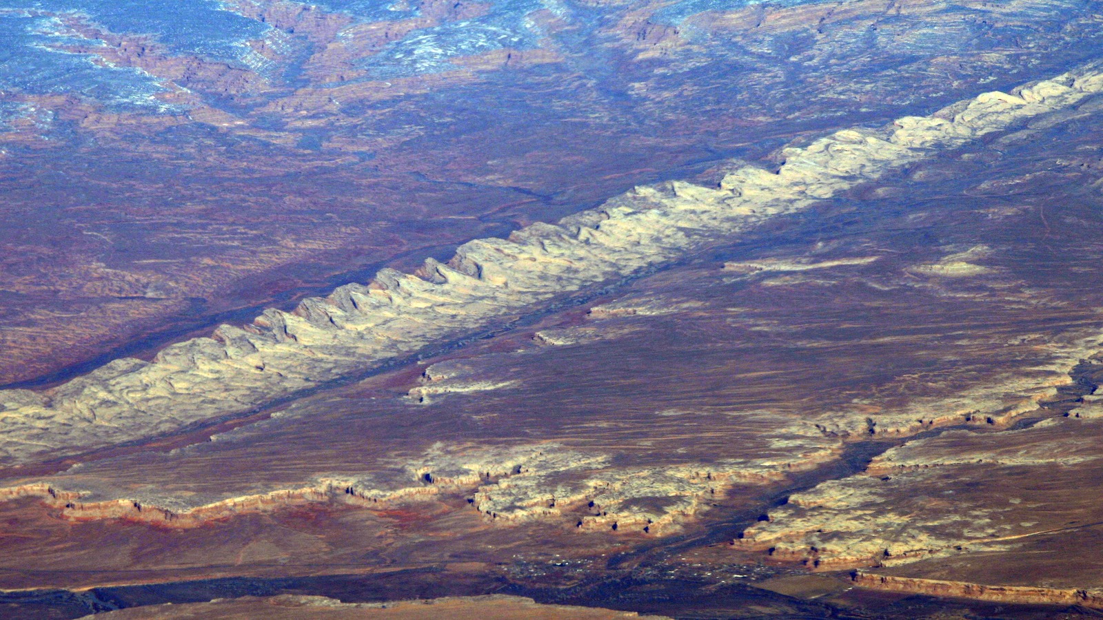
A serene view of the San Juan River flowing through red rock canyons in Utah at sunset, symbolizing the return to safety after an evacuation order is lifted.
Photo via AI illustration
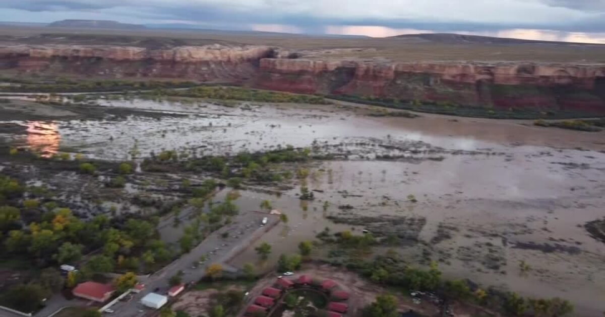
The evacuation order for Bluff, Utah, has been lifted as of Monday, October 26, 2026. The lifting of the order follows monitoring of the San Juan River near Bluff, a location managed by the U.S. Geological Survey.

Key takeaways

  • The evacuation order for Bluff, Utah, was lifted on Monday, October 26, 2026.
  • The U.S. Geological Survey monitors the San Juan River near Bluff using station number 09379500.
  • The monitoring site is located at an altitude of 4046.22 feet in San Juan County.
  • The river's drainage area encompasses 23,000 square miles.

An evacuation order for Bluff, Utah, was lifted as of Monday, October 26, 2026, following the monitoring of river levels in San Juan County. The decision follows observations of the San Juan River near Bluff, where the U.S. Geological Survey maintains a monitoring station to track water data.

River Monitoring Details

The monitoring of the San Juan River near Bluff is conducted by the U.S. Geological Survey (USGS) at location number 09379500. This specific monitoring site is situated in San Juan County, Utah, and provides critical data regarding the river's behavior within the Goosenecks-San Juan River hydrologic unit.

Geographic and Technical Data

The USGS monitoring site is located at a latitude of 37.1506777777778 and a longitude of -109.866688888889. The altitude of the gage/land surface at this location is 4046.22 feet, with an altitude accuracy of 0.21 feet. The vertical datum used for this location is the North American Vertical Datum of 1988 (NAVD88).

Drainage Basin Information

The drainage area for the river system associated with this monitoring location covers 23,000 square miles. The site falls under drainage basin code 09 and is part of the larger hydrologic unit 140802050406.

USGS Data Services

The U.S. Geological Survey provides various data types for this location, including daily mean data and annual statistics. While the monitoring station is currently undergoing technical updates to its beta features, it remains a primary source for water data in the San Juan River area.

Sources used (2)

  • waterdata.usgs.govOfficialStatistics for San Juan River Near Bluff, UT
  • kutv.comWebEvacuation order lifted for Bluff after San Juan River surges from heavy rainfall

How this story was made

Corroborated by 2 independent sources

2 sources cited — counted as distinct source domains, listed below.

waterdata.usgs.govkutv.com

2 sources gathered

Coverage collected from the outlets listed above. · October 26, 2026

Written by AI

Utah News AI (on-device model) · drawing on 2 outlets · October 26, 2026

Quality checks

Passed editorial quality review (83/100)

Published

1 hour ago · October 26, 2026

This story was written by AI from the public sources listed above and passed automated quality review before publishing.

Article details

CategoryMulti-Source
CityBluff
ToneNeutral
ProductionAI Generated
Report a problem with this story
What's off? Pick any that fit, or just write below.

Every report is read and checked against the story's sources. Your email, if you give one, is used only to contact you about this message and is never shown publicly. Please keep other personal details out of the text. Privacy