A flood watch remains in effect through Tuesday evening, Sept. 29, 2026, for a large portion of southern and eastern Utah, as the National Weather Service warns that excessive rainfall continues to threaten rivers, creeks, and slot canyons. The threat persists due to deep tropical moisture and already saturated ground across regions including Zion National Park and Capitol Reef National Park.
Widespread Flood Threat
The National Weather Service Salt Lake City issued the current flood watch, which covers several areas including Bryce Canyon Country, South Central Utah, and the Glen Canyon Recreation Area/Lake Powell. Other locations under the watch include Kanab, Springdale, St. George, Escalante, Hanksville, Loa, Alton, Ivins, Torrey, Bryce Canyon City, Hurricane, Koosharem, Panguitch, Big Water, and Bullfrog.
Rainfall and Runoff Impacts
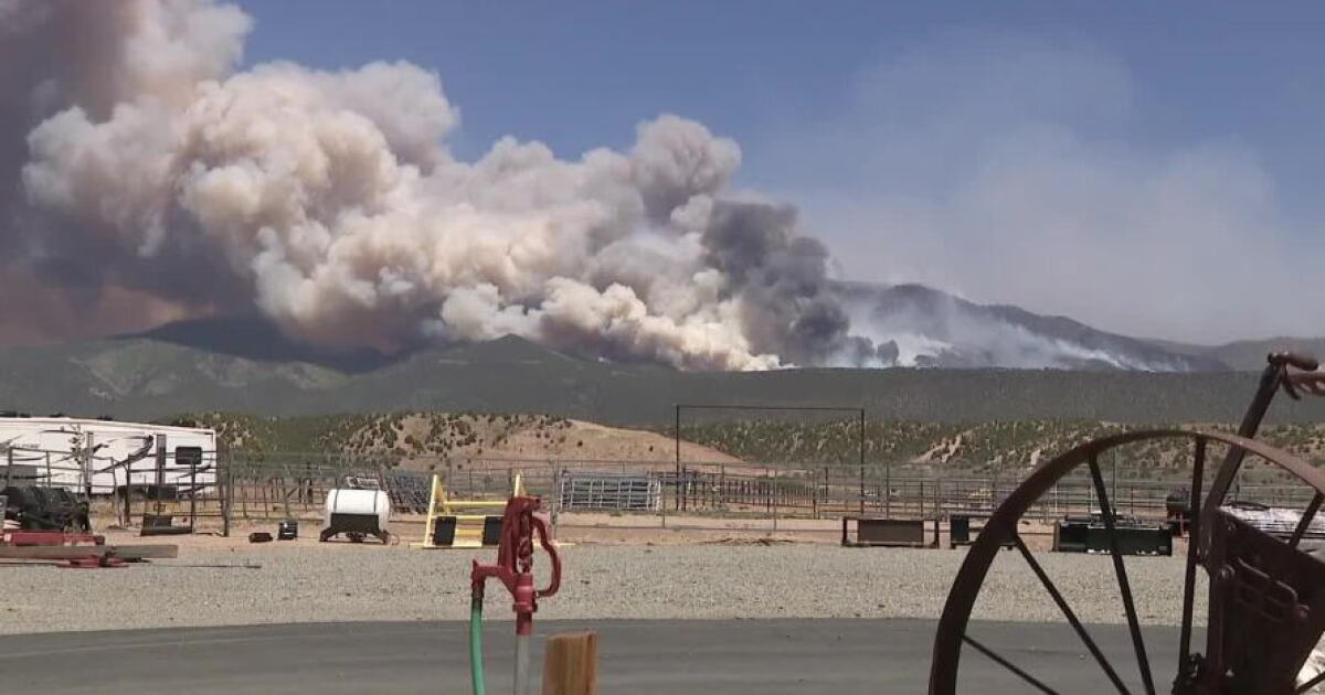
Meteorologists report that additional rainfall totals of 0.50 to 1.00 inch are expected, with some areas potentially seeing up to 2.00 inches. The threat of flooding is exacerbated by ground that is already saturated, which can lead to excessive runoff into waterways. This runoff may impact rivers, creeks, streams, dry washes, and slot canyons, particularly in slickrock areas and recent burn scars such as Cottonwood, Widemouth 2, France Canyon, Monroe Canyon, Forsyth, and Silver King.
Recent Severe Weather
The current weather patterns follow heavy rainfall that impacted the region previously. On Sept. 28, 2026, the National Weather Service Salt Lake City reported that heavy rain was continuing across much of southern Utah, noting that Flash Flood Warnings were in effect for Zion National Park and the Hildale/Colorado City area. During that time, residents were advised to seek higher ground and avoid driving through flooded roads.
Ongoing Atmospheric Conditions
Earlier in the week, specific alerts were issued for the region. On Sept. 28, 2026, a flood watch was issued for Lower Washington County, Zion National Park, South Central Utah, Capitol Reef National Park, and the Western Canyonlands. That alert, which was scheduled to remain in effect through Tuesday, Sept. 30, 2026, noted that deep tropical moisture combining with an upper-level low was bringing an increased threat of flash flooding.
Safety Precautions
Authorities continue to urge residents and travelers in flood-prone areas to monitor local forecasts and be prepared to take action. Because flooding can occur rapidly in low-lying areas and slot canyons, the National Weather Service advises individuals to be alert for potential Flash Flood Warnings.
Arizona Flood Warnings
In neighboring Arizona, multiple flood warnings were issued on Sept. 29, 2026, for parts of Navajo and Apache counties. These warnings, which were set to remain in effect until 11:15 PM MST on Tuesday, Sept. 29, 2026, were prompted by Doppler radar indicating heavy rain from thunderstorms. In these areas, officials warned that flooding of creeks and normally dry washes is imminent or already occurring.