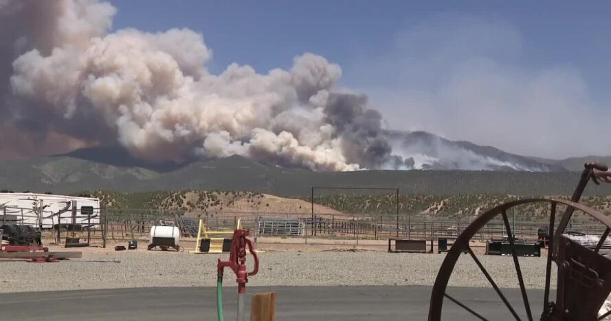
A tornado touched down near Fruit Heights on Friday, Sept. 18, 2026, after a severe thunderstorm moved through Davis County and toward the Wasatch Mountains, according to the National Weather Service. The tornado was confirmed after officials analyzed video footage showing a rotating column of air reaching the ground and lifting debris near a ridge at approximately 7,500 feet elevation.
Tornado Confirmation and Location
The National Weather Service Salt Lake City confirmed the tornado touchdown occurred at approximately 1:52 p.m. MDT, roughly two miles east of Fruit Heights. Officials determined the specific location by cross-referencing terrain features shown in social media video footage with maps and supplemented the findings with radar data, the National Weather Service reported.
The touchdown was identified on a ridge extending west from Francis Peak. While the tornado was observed near a summit at roughly 7,500 feet, officials noted that the 7,500-foot figure describes the reported touchdown area rather than the peak's total elevation.
Severe Weather Timeline
The storm system began producing severe weather earlier in the afternoon. At 1:44 p.m. MDT, the National Weather Service issued a tornado warning for northeastern Davis, south-central Weber, and west-central Morgan counties. At that time, a storm over Farmington was moving northeast at 30 mph, with radar indicating rotation and spotters reporting a funnel cloud.
In addition to the tornado threat, the warning identified a potential for ping-pong-ball-sized hail. This was followed by reports of significant hail in the surrounding areas. A preliminary report from the National Weather Service recorded 1.50-inch hail two miles west of Kaysville at 1:45 p.m. MDT, based on a photograph submitted to the agency.
Meteorological Analysis
As the storm moved through the valley, multiple reports of heavy hail were recorded. At 2:38 p.m. MDT, a trained spotter reported 1.50-inch hail one mile west of Farmington.
Meteorologist Dan Pope tracked the storm's progression, noting the storm's vertical structure and radar presentation. University of Utah atmospheric scientist Jim Steenburgh observed a pronounced mesocyclone and a hook echo as the storm approached the northern Wasatch near Farmington. Steenburgh noted that radar signatures alone do not prove contact with the ground, a distinction that was resolved when video evidence confirmed the tornado's touchdown.
Uncertainty in Damage Assessment
Despite the confirmed tornado, the National Weather Service has not yet established an official Enhanced Fujita (EF) rating for the event. Further details regarding the surveyed path length, the width of the damage track, or the total duration of the tornado remain unestablished in preliminary reports.
While various reports from observers included accounts of downed trees near Middle Smith Lake and other damage, these reports do not, by themselves, prove a continuous tornado track across the mountains. A final count of injuries or total property damage has not been established.
Event Conclusion
The tornado warning for the region expired at 2:15 p.m. MDT on Sept. 18, 2026. The event occurred in an area where, according to local climatology, tornadoes are considered rare.
Community Documentation
The storm's activity was documented through various community perspectives, including photographs and videos from residents. These visual accounts, alongside radar and lightning visualizations, provided the primary evidence used to verify the storm's intensity and path during the afternoon of Sept. 18.