Tropical Storm Rachel is racing northeast toward northern Baja California, where landfall is expected on Saturday night, October 10, 2026. The storm is forecasted to bring heavy rain and a moderate risk of flash flooding to several regions across the Southwest.
A level 3 of 4 moderate risk for flash flooding was identified for parts of the Southwest on Sunday, October 11, 2026. This area includes St. George, Utah, as well as Las Vegas, San Bernardino, California, and the Grand Canyon-Parashant National Monument. Additionally, southern Nevada and northwest Arizona are included in the moderate risk area.
Rainfall totals of 1 to 3 inches are possible across portions of the interior Southwest over a 48-hour period following October 10, 2026. The highest totals are expected in mountainous areas, where isolated rainfall totals may exceed 3 inches. Strong wind gusts are also expected to impact parts of the region on Sunday, October 11, 2026, with the highest gusts occurring over mountain regions throughout the day.
Tropical Storm Warnings were issued for areas from San Jose de Las Palomas in Baja California up to the U.S.-Mexico border. Tropical Storm Watches were also issued for portions of the southern California coast between the U.S.-Mexico border and the San Diego-Orange County Line.
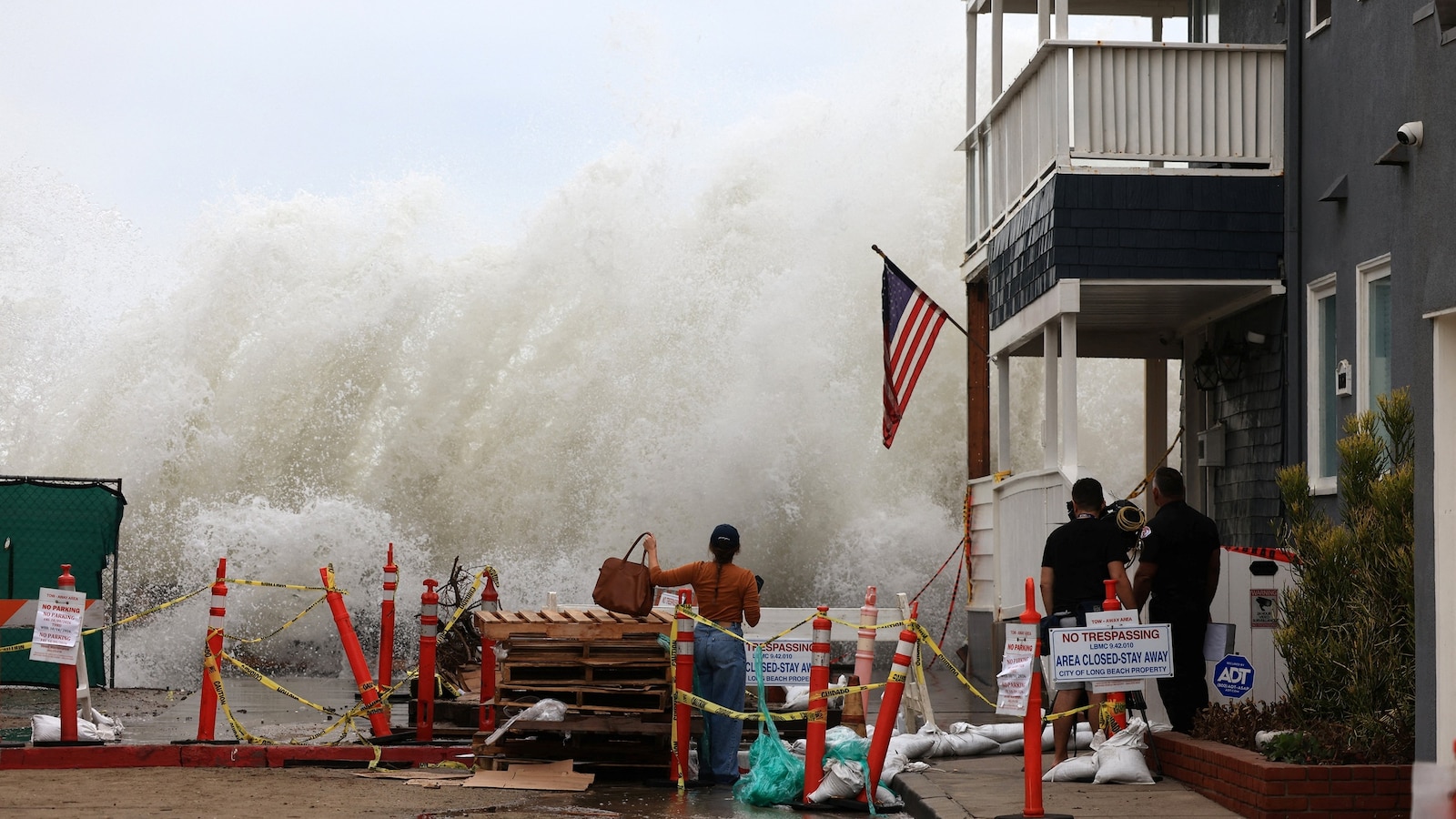
In Southern California, a moderate risk of flash flooding was noted for areas including San Diego and Indio. In response to coastal flooding, the City of Newport Beach declared a local emergency on Saturday, October 10, 2026, and closed all piers until further notice after having previously closed its beaches.