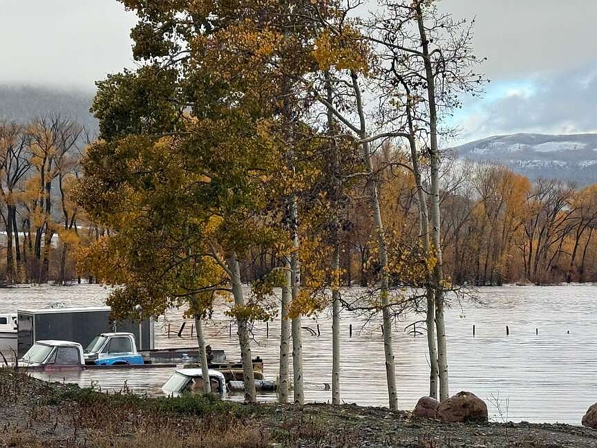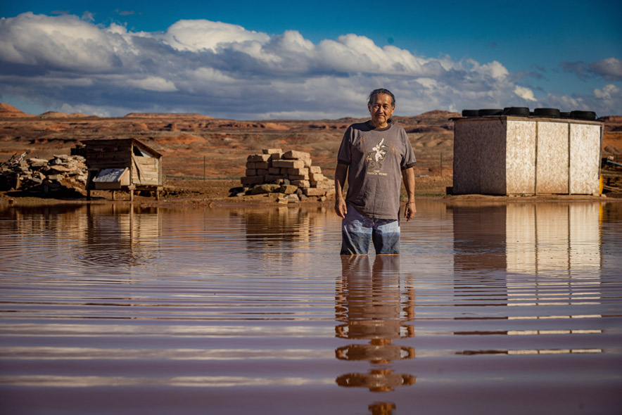
A surge on the San Juan River moved toward Shiprock on Friday, Oct. 23, after two days of storms flooded homes, stranded families, and forced rescues throughout the Navajo Nation. The river at Shiprock reached 17.3 feet on Friday night, exceeding the 15.5-foot flood stage, according to the National Weather Service.
Forecasters expected the river to reach 20.7 feet late Saturday morning, Oct. 25, slightly above the major flood stage of 20.5 feet. Upstream in Farmington, the river reached 14.1 feet on Friday, surpassing the previous record of 12.3 feet set in 1909. By late afternoon, water had spread over the floodplain beside the U.S. Highway 64 bridges in Shiprock.
Navajo Police Deputy Chief Donnie Kee stated during a San Juan County briefing on Friday that the highest water was expected to reach Shiprock late Friday night or early Saturday, Oct. 24. Kee warned residents along the river from Farmington west through Upper Fruitland, Nenahnezad, San Juan Chapter, Hogback, and Shiprock to Montezuma Creek, Utah, to evacuate immediately.
The flooding caused significant damage to infrastructure and triggered a hazardous material situation. San Juan County spokesperson Devin Neeley stated the San Juan River is a hazmat situation due to raw sewage entering the water after the Bloomfield wastewater treatment plant was inundated. While crews were restarting the plant on Friday afternoon, Farmington officials reported that the city's drinking water remains safe with no boil order in effect.
In Arizona, the Navajo Division of Transportation reported several road failures, including a washed-out culvert on N8033 in Forest Lake and a destroyed bridge on N91 near Pinto Tank. In Utah, the main road in Oljato was badly undercut. The Navajo Nation Commission on Emergency Management declared a state of emergency, which Navajo Nation President Buu Nygren concurred.
Shelters have been established at the Power House Church and First Baptist Church in Shiprock, while the Red Cross is operating a shelter at McGee Park near Farmington that accommodates RVs and pets. In Montezuma Creek, the Utah Navajo Health System set up cots in the elementary school gym.
On Thursday, Navajo Police and the Navajo Department of Emergency Management rescued 30 people from seven families in Dennehotso, Arizona, using an all-terrain rescue vehicle and an Arizona Department of Public Safety helicopter. Additionally, the Hopi Tribe declared an emergency after flooding displaced families in Moenkopi.
More rain is forecast for the weekend, including showers and thunderstorms on Saturday, Oct. 24, and a chance of rain on Sunday, Oct. 25. The National Weather Service’s Climate Prediction Center identified a risk of heavy precipitation in parts of the Four Corners region from Oct. 31 through Nov. 2.