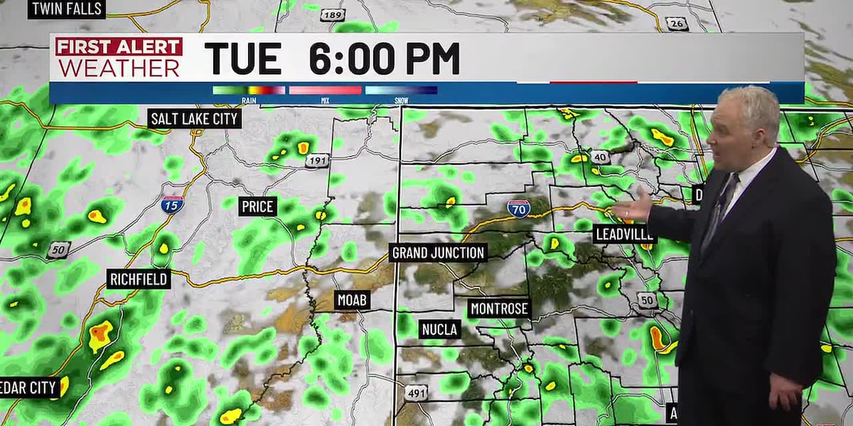
Showers and thunderstorms are expected to become increasingly common across Western Colorado this week, according to a report published August 10. The incoming weather patterns may bring relief from the heat, though localized flash flooding remains a possibility.
Temperatures are expected to remain high on Tuesday, with highs near 100 degrees in Grand Junction and Moab, 99 degrees in Delta, 96 degrees in Cortez, and 95 degrees in Montrose. As the week progresses, the increasing rain is expected to break the heat. High temperatures are forecast to step back to the low-to-mid 90s on Wednesday, with temperatures in the 80s becoming common from Thursday through Saturday.
The frequency of scattered showers and thunderstorms is expected to increase on Wednesday and especially on Thursday. While many areas may remain dry, rain is most likely to fall during the afternoons and evenings. These storms will diminish on Friday, followed by a generally dry weekend, though early signals suggest more scattered activity may return next week.
Officials warned that localized flash flooding is possible if heavy rain falls. Thursday is identified as the day of highest risk, though flooding could occur anywhere heavy rain falls from Tuesday through Friday and beyond. Burn areas from current and recent wildfires are noted as being highly prone to flash flooding and debris slides. Canyons, creeks, and streams are also highly prone to rapid and dangerous flash flooding, even those that are currently dry.
Storms may also bring frequent and dangerous cloud-to-ground lightning. Safety guidelines suggest sheltering indoors or in a hard-topped vehicle until at least 30 minutes after the last visible lightning strike or audible thunder.