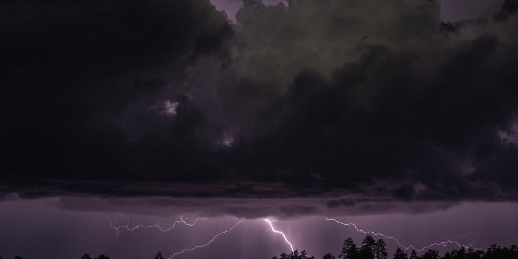
A renewed flash flood threat expanded across the Four Corners states on Thursday after rare October severe weather hit Arizona on Wednesday. The storms in Arizona included 60 mph wind gusts, hail, and widespread flash flooding, according to a FOX Forecast Center report published October 21.
The severe weather included a Tornado Watch issued in Arizona on Wednesday, the first in 16 years. In New Mexico, a Tornado Watch was issued on Thursday, marking the first time in 28 years that the state has seen such a warning. This included the first issuance for San Juan County since 1998.
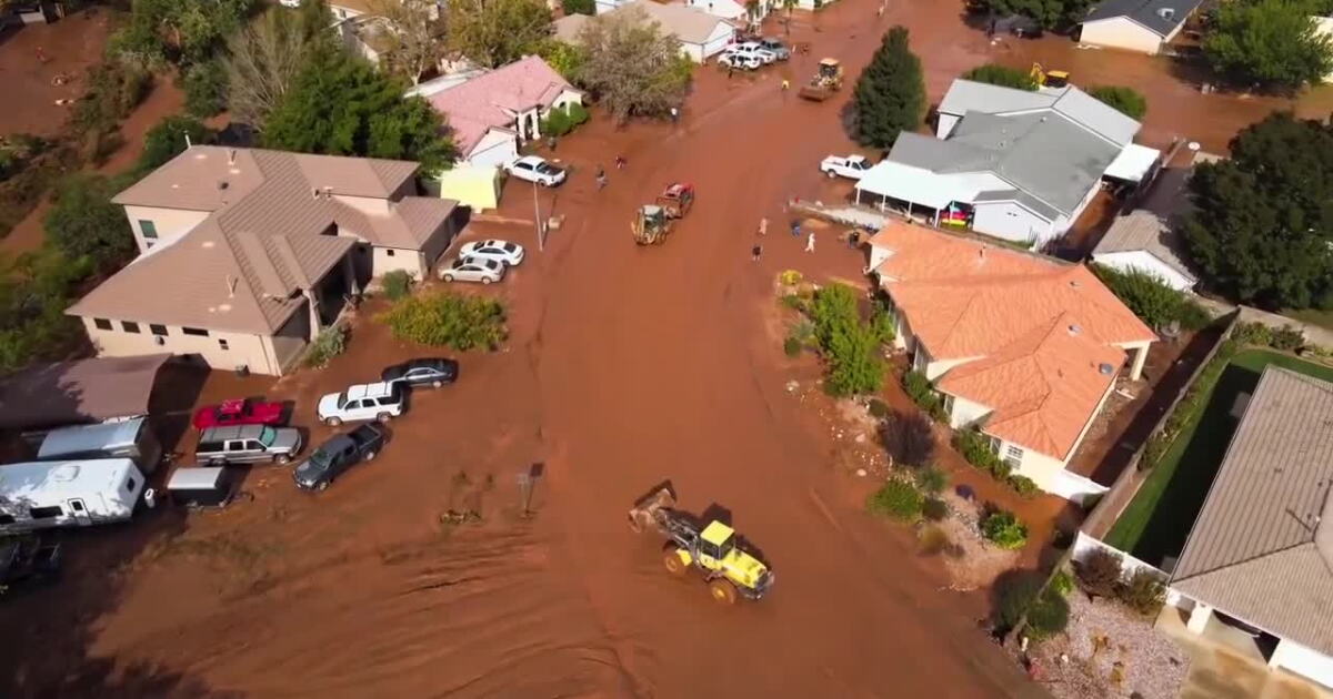
In southwestern Utah, major flooding inundated parts of Hurricane on Thursday, which prompted local officials to issue evacuation orders as water surged through neighborhoods and roadways. Utah Governor Spencer J. Cox stated that officials are closely monitoring the flash flooding in Hurricane and urged residents to follow all evacuation orders and local emergency guidance.
The storm system has caused significant impact across the Southwest. A tornado-warned storm moved through Overgaard, approximately 150 miles northeast of Phoenix, around 7 p.m. local time on Wednesday. The Navajo County Sheriff's Office reported that the storm caused minor injuries and significant damage, which displaced people from their homes.
In Flagstaff, Arizona, a top wind gust of 72 mph was recorded on Wednesday. Additionally, hail up to 3 inches has already been reported just south of Flagstaff. On Wednesday evening, the Moenkopi Wash near Tuba City rose above 32 feet, surpassing its previous record height by nearly 3 feet.
NOAA has issued a Level 2 out of 5 risk of severe thunderstorms for parts of central and eastern Arizona, including Phoenix, and western New Mexico on Thursday. A broader Level 1 threat covers eastern Nevada, much of Utah, and the Grand Canyon.
Additionally, a broad Level 2 out of 4 flash flood risk covers parts of Utah, Colorado, Arizona, and New Mexico. In southeastern Colorado, a Level 3 out of 4 flash flood threat exists near the Ferris Fire burn scar, where the FOX Forecast Center said 3 to 5 inches of rain is possible. The Archuleta County Sheriff's Office and the Town of Pagosa Springs issued mandatory evacuations for low-lying and flood-prone areas along the San Juan, Rio Blanco, Navajo, and Piedra rivers.
The severe weather may be linked to an impending Super El Niño. During Super El Niño years, the jet stream typically shifts directly over the southern United States, acting as an atmospheric conveyor belt for storms that can lead to severe weather outbreaks. Two of the past three super El Niño winters, 1997-1998 and 2015–2016, brought significant severe storm outbreaks across the Gulf Coast, Southeast, and Southern Plains.