Several regions across Utah are under flood watches due to the potential for flooding caused by excessive rainfall. The National Weather Service Salt Lake City has issued warnings for areas including Southwest Utah, the San Rafael Swell, and the Southern Mountains.
In Southwest Utah, specifically near the I-15 corridor, a flood watch remains in effect through Tuesday evening. This area includes Milford, Beaver, and Cedar City. Meteorologists noted that deep tropical moisture will continue to bring the threat of heavy rainfall to this region, with additional totals of 0.50 to 1.00 inches expected, and locally up to 1.25 inches.
A flood watch is also in effect through Tuesday evening for the San Rafael Swell, Southern Mountains, and Upper Sevier River Valleys. This area encompasses Brian Head, Goblin Valley, Bryce Canyon City, Alton, Koosharem, Circleville, Green River, and Panguitch. In these locations, rainfall totals of 0.25 to 0.50 inches are expected, with local amounts reaching up to 1.25 inches.
Other areas under a flood watch through Tuesday evening include Lower Washington County, Zion National Park, South Central Utah, Western Canyonlands, and the Glen Canyon Recreation Area/Lake Powell. This includes locations such as Ivins, Springdale, St George, Kanab, Escalante, Big Water, Torrey, and Hurricane. Rainfall in these areas may reach 0.50 to 1.00 inch, with local amounts up to 2.00 inches.
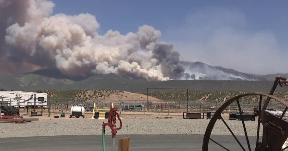
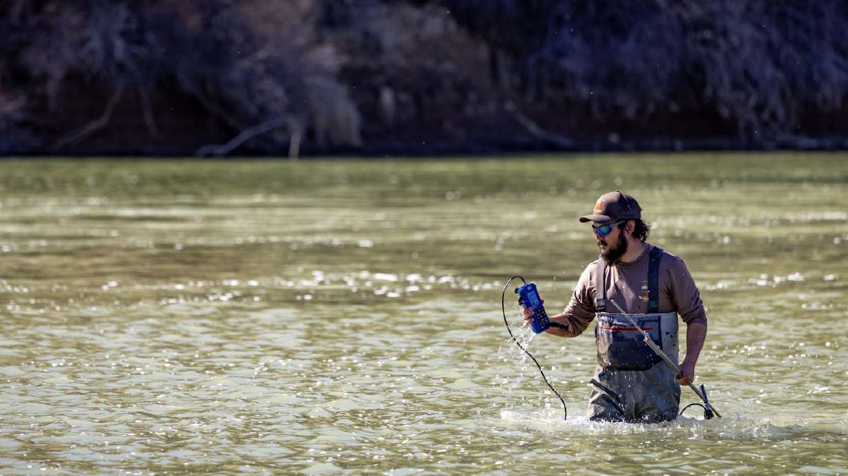
The threat of flooding is exacerbated by already saturated ground and waterways that are already running high. Excessive runoff may result in the flooding of rivers, creeks, streams, dry washes, slot canyons, and other low-lying or flood-prone locations, such as recent burn scars or slickrock areas.