Thunderstorms producing up to an estimated 51 mm of rain triggered flash flooding at Bryce Canyon National Park in Utah, prompting four rescue operations involving 11 hikers. Two individuals were transported to a hospital with signs of hypothermia, according to reports regarding the incident.
Garfield County Sheriff’s Office public information officer Wade Mathews reported that the 11 rescued individuals were in four separate groups. While two people required hospitalization for hypothermia, the remaining nine were evaluated and released at the scene. One individual was initially reported to be in critical condition.
The rescue response, which lasted from approximately 14:30 to 17:30 MDT, involved Bryce Canyon National Park rangers, Garfield EMS, and Sheriff’s Office personnel. Rescuers faced delays due to lightning in the area.
Law enforcement reported that the flooding, mudslides, and rockslides affected several areas, including the Fairyland Loop, Navajo Loop, Queen’s Garden, and Peekaboo Loop. National Park Service personnel also reported mudslides and rockfalls following the thunderstorms.
The National Weather Service in Salt Lake City issued a Flash Flood Warning after Doppler radar indicated heavy rain across portions of the park. The agency estimated that up to 38 mm of rain had fallen before later estimates reached 51 mm primarily over Bryce Canyon National Park.
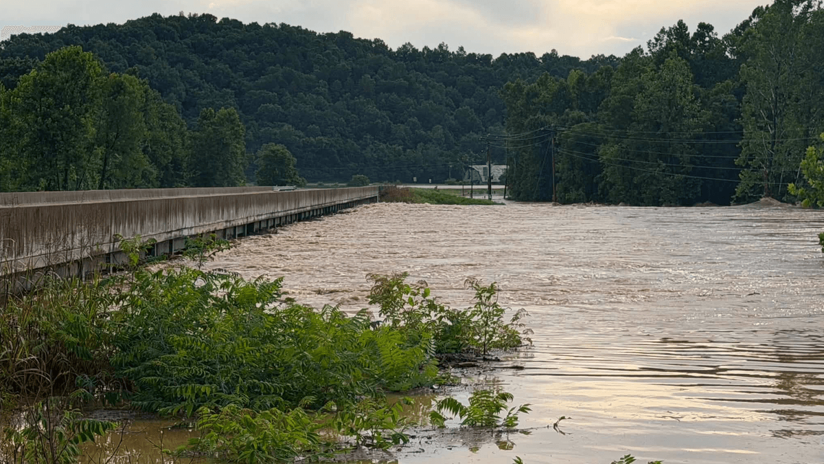
Floodwaters reached the transportation corridor southeast of the park at approximately 14:45 MDT. The Paria River/Bryce Creek overflowed near Tropic, crossing State Route 12 and depositing heavy debris on the roadway, which caused a temporary closure of the highway. Video provided to law enforcement showed large trees moving in the floodwater near Tropic.
The flood wave continued downstream through the Paria River drainage during the evening. USGS data from a station 22.5 km west-northwest of Big Water showed discharge rising from near zero to 78.7 m3/s in approximately 20 minutes. The National Weather Service extended a Flash Flood Warning for south-central Kane County after gauges indicated a large flood wave had crossed beneath US-89 and was moving south toward the Arizona border.