THE WIRE · UPDATED 10:46 AM MDT No story is too small.
Multi-SourceSan Juan CountyBlandingLa Sal

San Juan River Flooding Forces Evacuations in Navajo Nation

Utah.News 2 sources cited Details

How this story was published

Published automatically from 2 public sources cited; not yet reviewed by the desk. Tell us if something is wrong ↗

The sources this story cites are listed under Sources used at the end of this story. Questions or a correction: corrections@utah.news.

Corroborated by 2 sources 2 sources cited How it was made ↓
Turbulent, muddy river water swirling around a partially submerged wooden post under a heavy, dark sky, symbolizing rising floodwaters in a desert landscape.
Photo via AI illustration
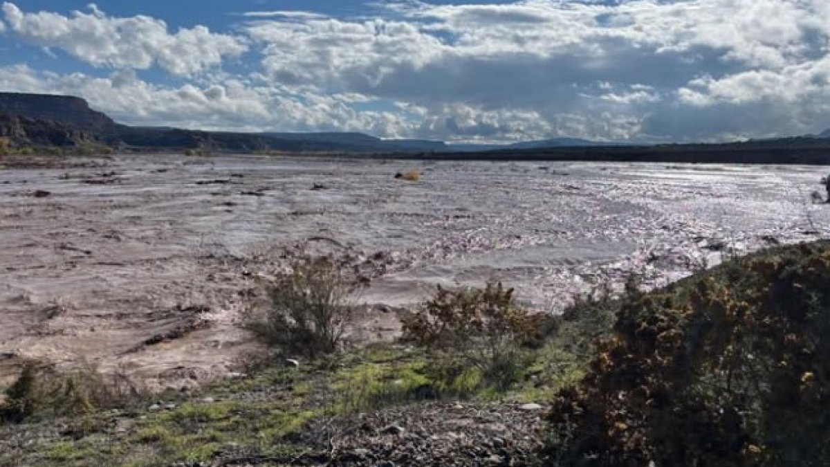
A historic and catastrophic flood on the San Juan River caused widespread evacuations and stranded residents in the Shiprock and Montezuma Creek areas. The Navajo Nation and local emergency officials coordinated rescue efforts as river levels surged to record heights.

Key takeaways

  • San Juan River levels reached an estimated 23 feet during the overnight hours of Friday night and early Saturday morning, October 24, 2026.
  • Navajo Nation President Buu Nygren reported that residents were stranded on rooftops in the Shiprock area.
  • The Navajo Nation Department of Emergency Management issued evacuation notices for Bluff, Montezuma Creek, and Aneth, Utah, on Saturday, October 24, 2026.
  • An estimated 150 people were expected to be evacuated from Montezuma Creek and Aneth alone.
  • The Bisti Bridge at NM 371 and the Nenahnezad Bridge were closed due to the flooding.

A historic and catastrophic flood on the San Juan River forced residents to evacuate and left some individuals stranded on rooftops in the Shiprock area during the overnight hours of Friday night and early Saturday morning, October 24, 2026.

Rising River Levels

Navajo Nation President Buu Nygren reported that river levels on the San Juan River reached an estimated 23 feet during the overnight hours of Friday night and early Saturday morning, October 24, 2026. Projections indicated the river would reach a level of 21.79 feet during the mid-morning hours of Saturday, October 24, 2026.

Infrastructure and Road Closures

The flooding caused significant disruptions to local infrastructure. The Bisti Bridge at NM 371 and the Nenahnezad Bridge were reported closed, with no through traffic permitted at closed bridges. While the Shiprock Bridge was reopened as of 5:30 p.m. on Saturday, October 24, 2026, other areas faced ongoing challenges.

Evacuations in Utah Communities

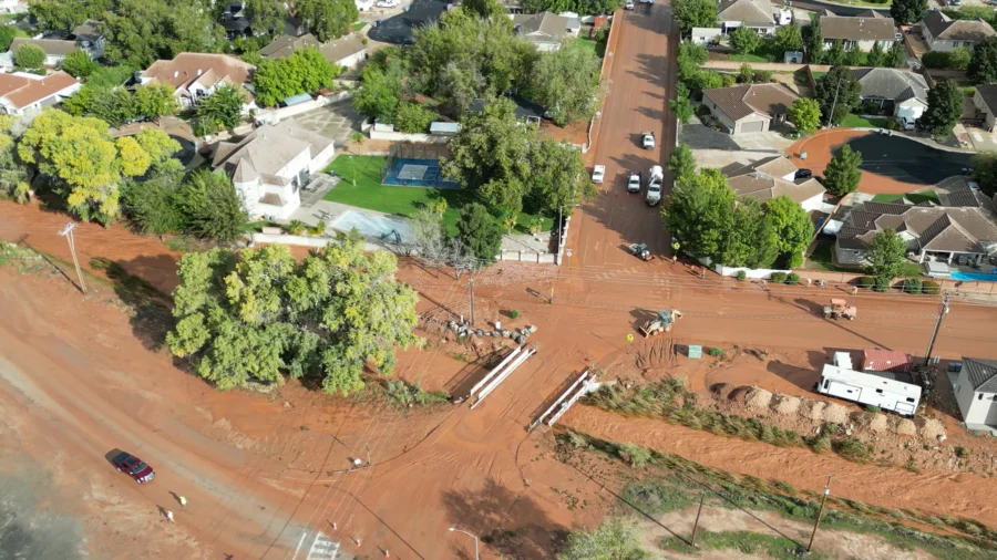
In Utah, the Navajo Nation Department of Emergency Management issued a notice of evacuation at 11:15 p.m. on Saturday, October 24, 2026, for the communities of Bluff, Montezuma Creek, and Aneth. The department estimated that 150 people would be evacuated from the Montezuma Creek and Aneth communities alone.

Emergency Response Coordination

Emergency response efforts involved the Navajo Nation Police Department, New Mexico State Police, and emergency management officials. EMS crews established operations with prepositioned ambulances to provide medical assistance to those in need.

Shelter and Relocation Efforts

Shelter operations were impacted by the rising waters. The Dine Christian Center was closed due to the flood, and residents who were at that shelter were relocated to the LDS Church near Shiprock. In Utah, a shelter was established at the Aneth Community School located at 162 San Juan County Rd. #466 in Montezuma Creek.

Resident Preparedness

Authorities advised residents to be prepared to be away from their homes for multiple days and to bring essential items including medications, identification, important documents, and personal hygiene items.

Command Operations

The incident command post for the evacuation efforts was located at the Montezuma Creek EMS Station.
Sources used (2)

How this story was made

Corroborated by 2 independent sources

2 sources cited — counted as distinct source domains, listed below.

sjsd.orgx.comkoat.comksl.comforecast.weather.govsltrib.commarine.weather.govwaterdata.usgs.gov

10 sources gathered

Coverage collected from the outlets listed above. · October 27, 2026

Written by AI

Utah News AI (on-device model) · drawing on 2 outlets · October 27, 2026

Quality checks

Editorial review: humanReview (76/100)

Published

1 hour ago · October 27, 2026

This story was written by AI from the public sources listed above and passed automated quality review before publishing.

Article details

CategoryMulti-Source
CitySan Juan County, Blanding, La Sal
ToneNeutral
ProductionAI Generated
Report a problem with this story
What's off? Pick any that fit, or just write below.

Every report is read and checked against the story's sources. Your email, if you give one, is used only to contact you about this message and is never shown publicly. Please keep other personal details out of the text. Privacy