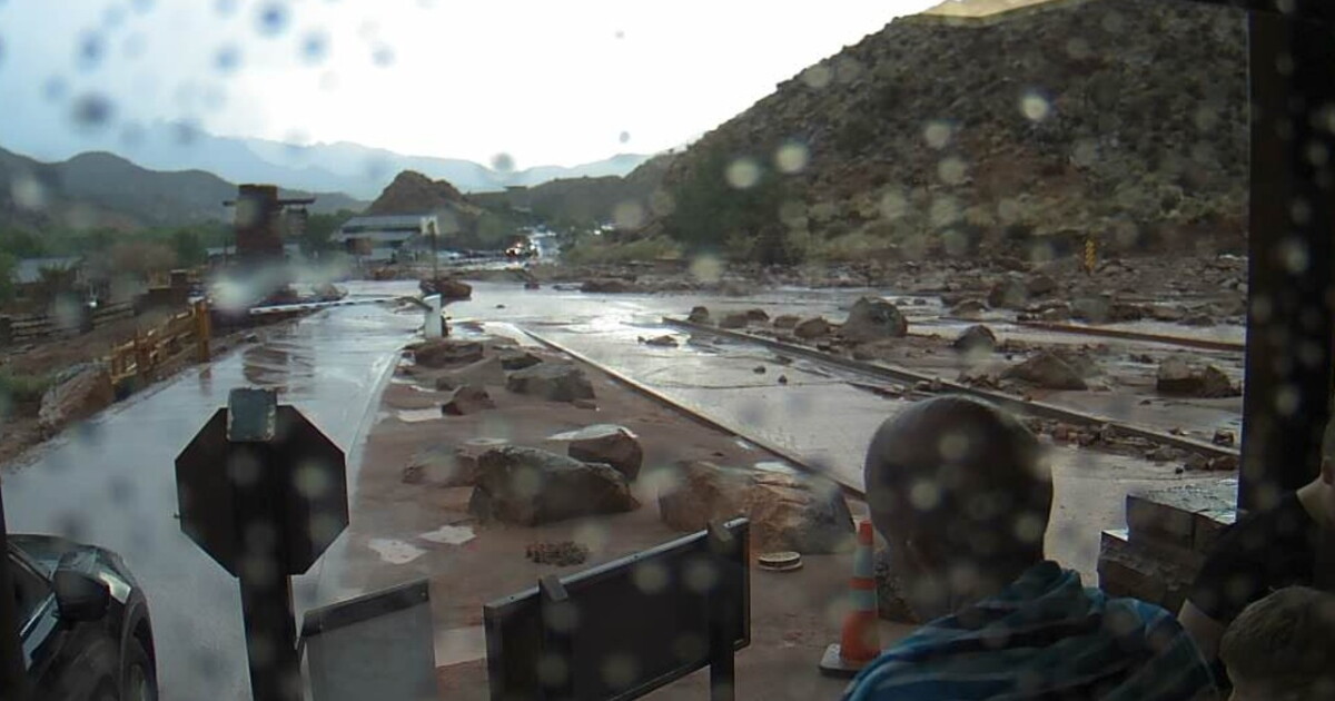
A flood watch is in effect for Hurricane, Utah, as the National Weather Service predicts heavy rain and thunderstorms through next Tuesday. The National Weather Service issued the flood watch on October 9, 2026, forecasting a period of wet weather for the area located two miles west-northwest of Hurricane.
The weather pattern is expected to shift significantly heading into the weekend. While Friday night is expected to remain partly cloudy with a low of 67 degrees, Saturday is forecast to have a 40 percent chance of showers with a high near 85 degrees. Conditions are expected to deteriorate Saturday night, when the chance of precipitation rises to 100 percent, with forecasters predicting showers and possible thunderstorms after 9 p.m. Saturday and rainfall amounts between a quarter and half of an inch.
The heaviest rainfall is expected to arrive on Sunday. The National Weather Service predicts a 100 percent chance of showers and possible thunderstorms, with rainfall amounts potentially reaching between a half and three quarters of an inch. High temperatures on Sunday are expected to reach near 75 degrees, while winds could gust as high as 36 mph.
Conditions are expected to remain wet through the beginning of next week. On Monday, Columbus Day, the forecast calls for a 90 percent chance of showers and possible thunderstorms with a high near 69 degrees. This pattern continues into Tuesday, when showers are likely with a high of 65 degrees.
The weather is expected to clear by mid-week. The National Weather Service predicts a transition to mostly sunny conditions by Wednesday, with a high of 68 degrees. By Thursday and Friday, the forecast shows sunny skies and warmer temperatures, with highs reaching 73 degrees and 77 degrees, respectively.
As the region prepares for these weather events, local infrastructure remains a key focus for municipal management. The City of Hurricane manages its storm water runoff through the Municipal Separate Storm Sewer System (MS4) department. Operating under the Clean Water Act and regulated by the National Pollutant Discharge Elimination System (NPDES), the MS4 department is responsible for managing runoff to prevent pollution in local water bodies. The Hurricane City Council adopted a Stormwater Management Plan on March 20, 2025, to address erosion and sediment pollution.