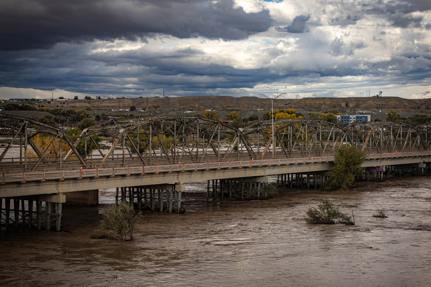
An atmospheric river is delivering widespread rain and snow across southeast Utah and southwest Colorado, according to the National Weather Service Grand Junction on November 1, 2026.
A Flood Watch remains in effect for southeast Utah and southwest Colorado through 11 a.m. Monday due to saturated soils and excessive rainfall. This moisture is expected to produce additional localized flooding and debris flows near susceptible washes, arroyos, and burn scars.
The San Juan River at Pagosa Springs is forecast to reach major flood stage, which has prompted a Particularly Dangerous Situation Flood Warning for that area. Targeted River Flood Warnings are also in effect for the La Plata, Mancos, Navajo, and San Juan rivers due to the forecasted volume of water passing through these basins.
Rainfall totals are expected to vary by region. The San Juans may see 3 to 4 inches of liquid precipitation, while the Four Corners valleys may receive 2 to 2.5 inches. The Book Cliffs/Tavaputs and central mountains are likely to see 1.5 to 2.5 inches, and central valleys may receive near an inch.
Winter weather conditions are also impacting the region, with Winter Storm Warnings in effect until noon MST Monday for certain Colorado areas. Snow levels are expected to drop late Sunday night into Monday morning, potentially reaching pass levels.
Travelers should be prepared for winter driving conditions during the Monday morning commute along US-550, US-50, and I-70 over Vail Pass. Lighter impacts may occur north on highway 40 west of Rabbit Ears Pass.
Behind this weather system, conditions are expected to dry out for a few days as high amplitude ridging moves overhead. While a slight warm-up is expected through the mid-week period, highs are likely to remain 5 to 10 degrees below normal for early November.
A quick-moving clipper system has the potential to bring light showers to the region mid-to-late next week, though model agreement for this forecast is currently poor.