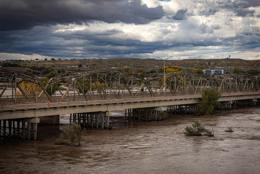
The San Juan River is expected to rise above flood stage at Shiprock on Monday evening as heavy rain impacts the region. Another round of rainfall brought flooding and road damage Sunday to communities still recovering from storms that occurred in October.
The National Weather Service in Albuquerque forecast the river will crest at 16.2 feet early Tuesday, which exceeds the 15.5-foot flood stage. A river flood warning for Shiprock is in effect from Monday evening through Tuesday evening. On Sunday, the river measured 10.6 feet at noon and was expected to fall below flood stage Tuesday morning.
A separate flood warning was issued for San Juan County through 11 a.m. Monday, covering Shiprock, Farmington, Bloomfield, Kirtland, and Ojo Amarillo. San Juan County emergency managers warned that the San Juan, Animas, and La Plata rivers could overflow their banks Sunday evening due to additional rainfall reaching waterways affected by previous storms.
The La Plata River was projected to crest at 10.5 feet late Sunday, exceeding its 9-foot flood stage and approaching the 10.8-foot crest recorded in August 1934. Near Cedar Hill, the Animas River was forecast to reach 11.2 feet late Monday morning, exceeding its 10.5-foot flood stage. In Farmington, the Animas River was expected to reach 11.1 feet Monday afternoon before receding early Tuesday.
A flood advisory also remained in effect for the San Juan River at Farmington through Tuesday afternoon. The river was forecast to crest at 8.1 feet Monday afternoon, which is below its 8.5-foot flood stage.
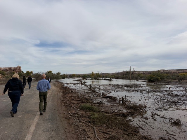
Heavy rainfall has caused significant infrastructure damage, including a washout of New Mexico Highway 170 between mile markers 3 and 18 reported Sunday. In Dennehotso, flooding damaged the Dennehotso Loop, comprising Navajo Routes 6460 and 6461, while it was under construction, leaving the route impassable. The Navajo Division of Transportation is responding to washouts and impassable routes through a plan coordinated with the Navajo Nation Emergency Operations Center.
The Weather Prediction Center placed parts of the Four Corners region under a moderate risk of excessive rainfall Sunday. Forecasters warned that rivers could continue rising after rainfall ends, potentially prolonging flooding and leaving riverbanks and damaged roads hazardous.