The Widemouth 2 Fire reached 80% containment on August 16, 2026, according to an update from the Fishlake National Forest. The fire has burned 129,741 acres and involved 624 personnel.
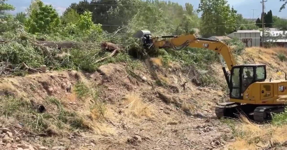
Scattered showers fell over the fire area the day prior to the update, prompting a survey of the area where critical repair needs were identified. Dozers worked to stabilize soil in the north and east locations. While smoke was absent between Mount Catherine and Pioneer Peak, crews monitored the northeast perimeter toward Broad Canyon as temperatures warmed.
Firefighters focused on direct suppression on portions of the east line to secure containment lines in treacherous terrain. Managers deemed it unsafe to place firefighters in certain areas, opting to let an interior pocket of timber burn itself out. In the southwest, hand crews camped in Dog Valley to reinforce lines in hard to reach areas through direct suppression.
Progress was reported around Granddad Peak on the southeast boundary, where the fire line was woven around private properties that received point protection. Equipment used for structure protection was being removed from those areas. Additionally, brush removal and chipping operations continued along I-70 to improve visibility for drivers and migrating wildlife.
New closure orders were issued to protect public safety during suppression operations. The Fishlake National Forest issued Closure Order #0408-26-14, closing designated National Forest System lands, roads, and trails within the Fillmore Ranger District through October 31, 2026. Additionally, the Bureau of Land Management Fillmore Field Office issued Fire Prevention Order UT-W002-26-07, closing all BLM-administered public lands in Millard County located north of Interstate 70, east of Interstate 15, and west of US Highway 50. Both orders prohibit public entry except for authorized firefighting personnel, law enforcement, or individuals with signed agency permits.