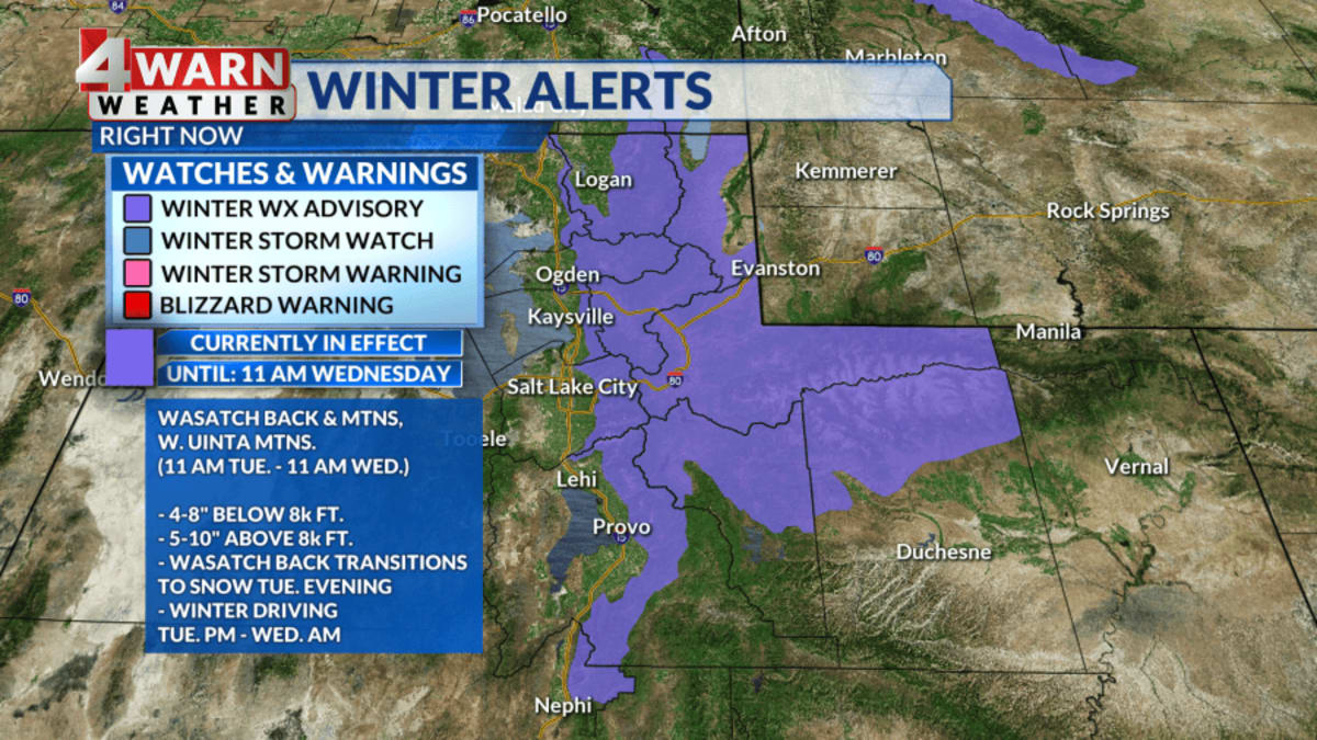
The Wasatch Mountains received their first major snowfall of the season, with Alta recording nearly 20 inches of accumulation at elevations above 9,000 feet. This significant storm has coated mountain slopes and brought slushy, icy conditions to various routes, according to reports published on Wednesday, November 18, 2026.
Significant Mountain Snowfall
The storm delivered a heavy layer of snow across the Utah mountains, with OpenSnow reporting accumulations ranging from 6 inches to 19 inches. In the Wasatch Mountains, the snowfall has transformed the landscape, providing an early season preview for skiers and snowboarders before many local resorts have officially opened for the winter.
Elevation and Totals
Meteorologist Elisa Raffa noted that elevations above 4,000 feet saw as much as 5 inches of snow. However, the highest elevations experienced much heavier totals; Alta-Collins was identified as a primary recipient of the storm, with totals nearing 20 inches at elevations exceeding 9,000 feet.
Northern Utah Impact
While mountain peaks saw heavy accumulation, the snow also reached northern Utah communities. In Pleasant Grove, residents were seen playing in the snow at a football field as fresh flakes covered yards, patios, and parking lots. Additionally, a brief burst of thundersnow was captured in Salt Lake City during the storm.
Travel and Road Conditions
The recent weather has impacted travel conditions across the region. The Utah Department of Transportation has deployed crews to clear roads, and officials have issued warnings to drivers regarding slushy and potentially icy conditions along mountain routes.
Upcoming Storm Forecast
Weather patterns suggest that the current snow event is not the only one expected this week. Forecasters anticipate another round of snow arriving Thursday, November 19, 2026. This upcoming system could bring an additional 6 to 12 inches of snow to the highest elevations through the end of the week.
Long Term Outlook
OpenSnow's short-term forecast indicates a brief break in the weather today and into tonight before the next storm arrives on Thursday. While the pattern is expected to quiet down somewhat next week, there remains a chance for lighter snow to fall during that period.
Regional Snow Totals
Current snow totals at various Utah locations reflect the intensity of the recent storm. According to data from OpenSnow, Alta recorded 32 inches, Snowbird recorded 31 inches, and Brighton recorded 31 inches. Other notable totals include 29 inches at Solitude, 27 inches at Powder Mountain, and 25 inches at Snowbasin.