The Teddy Valley Fire has expanded to cover 361 acres in Iron and Beaver counties, according to an August 29 update from Utah Fire Info. The blaze, which ignited on state and Bureau of Land Management lands northwest of Parowan, has faced gusty winds despite crews making significant progress in maintaining fire lines.
Containment and Fire Behavior
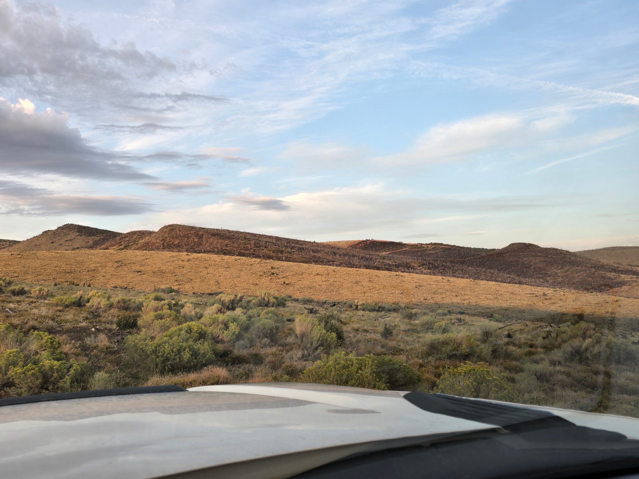
The fire, which was estimated at more than 200 acres on August 27, is primarily burning within an old burn scar, consuming islands of trees and brush, Utah Fire Info reported on August 27. While fire activity increased as temperatures rose, officials noted that fire behavior remained moderate during that period.
As of August 29, 60 personnel remained assigned to the incident. According to Utah Fire Info, recent rainfall on the morning of August 29 helped reduce smoke to isolated heat pockets and stump holes. Despite the challenges posed by wind, fire lines have held, allowing crews to make significant progress in containment efforts.
Location and Impact
The fire is located on state and Bureau of Land Management lands northwest of Parowan, near the Beaver and Iron County line and west of Interstate 15. According to Utah Fire Info, the fire does not currently threaten any critical infrastructure or local communities.
Geographic data indicates the blaze is burning on land spanning both Iron and Beaver counties. The area's topography and existing vegetation, including islands of trees and brush within an old burn scar, have influenced the fire's movement and behavior.
Drought and Fire Danger
The Teddy Valley Fire occurs amid a period of significant drought across the state. According to the U.S. Drought Monitor, 2.8 million Utah residents live in areas experiencing drought. While the state saw its 31st wettest July on record with 1.31 inches of total precipitation—an increase of 0.32 inches from normal—it also experienced its 23rd driest January-July period on record, with only 5.75 inches of precipitation, a decrease of 2.10 inches from normal.
Fire danger remains a concern for regional agencies. As of September 2, 2026, the Color Country Interagency Fire Center reported various fire danger rating area indices. The Basin area was listed with a fire danger rating of 1 and a response level of Moderate, while the Mojave area showed a fire danger rating of 4 and a response level of Moderate. The Trumbull area was listed with a fire danger rating of 1 and a response level of Moderate.
Land Management Restrictions
The Bureau of Land Management (BLM) has implemented various fire restrictions across Utah to prevent human-caused wildfires during periods of high fire danger. These restrictions are designed to mitigate risks brought on by extreme drought and increased public land use.
In the Color Country District, Stage 1 Fire Restrictions went into effect on September 1, 2026, covering Garfield, Piute, Sanpete, Sevier, and Wayne counties. These restrictions prohibit building or maintaining open fires or campfires using solid fuels, smoking except within a vehicle or enclosed area, and grinding, cutting, or welding metal. Additionally, operating an internal combustion engine without a properly installed and effective spark arresting device is prohibited.
Other BLM districts have faced different restrictions. The Green River District-Vernal Field Office implemented Stage 1 restrictions on August 21, 2026, while the Green River District implemented Stage 2 restrictions earlier in the year. The Canyon Country District has had Stage 1 restrictions in effect since June 26, 2026.
Regional Coordination and Weather
The Great Basin Coordination Center, located in Salt Lake City, continues to coordinate the mobilization of resources for wildland fire incidents throughout the Geographic Area. The center provides intelligence and predictive services used by the wildland fire community for incident management decision-making.
Weather conditions in the region remain a factor for fire management. While scattered showers and storms have been expected in portions of the Eastern U.S., the Intermountain West has faced dangerous heat. Increasing winds and hot, dry weather have contributed to elevated wildfire conditions in the northern Intermountain West, where air quality issues have persisted due to ongoing fires.
Ongoing Response
The Teddy Valley Fire remains an active incident involving multiple ground and aviation resources. As of the latest updates from Utah Fire Info, additional resources have been ordered to support ongoing containment efforts as the fire continues to burn on state and federal lands.