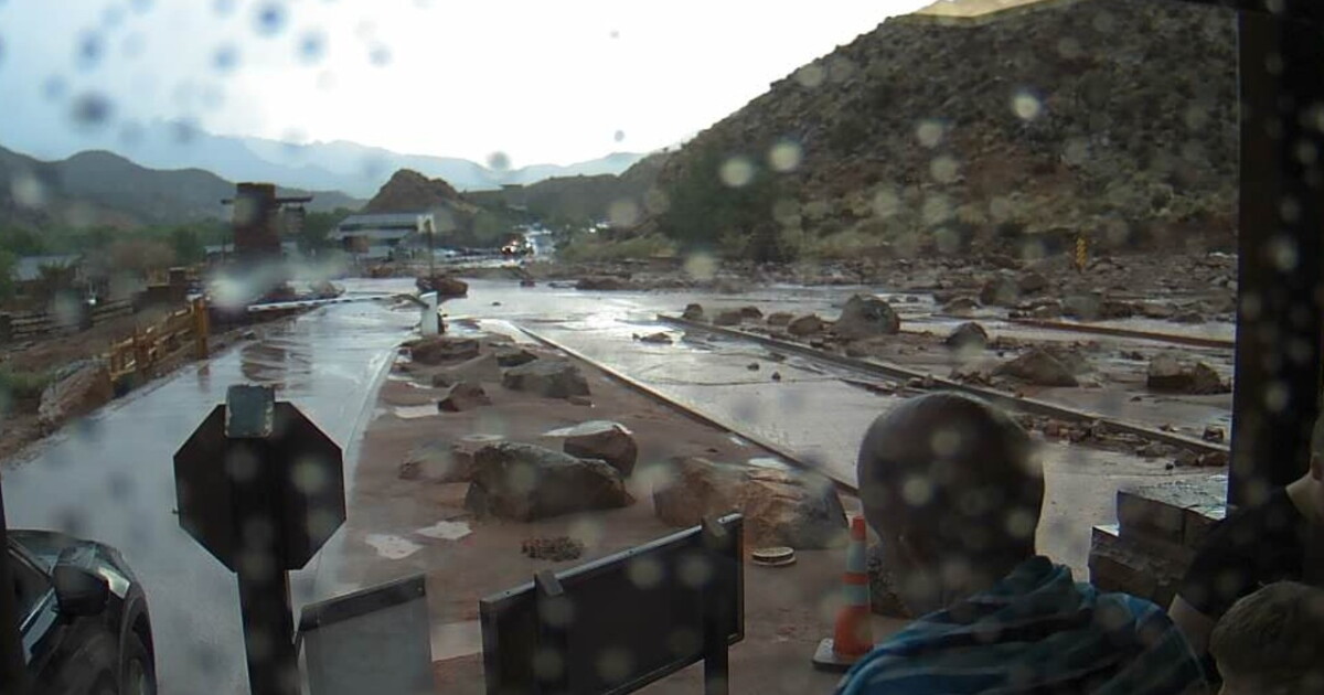
Flash flood warnings were issued for several areas in southern Utah, including South Central Garfield County and Northeastern Kane County, on October 11, 2026. Meteorologists reported that thunderstorms are producing heavy rain, with rainfall amounts between 0.5 and 1.25 inches already recorded in some regions.
In southwestern Utah, a flash flood warning was extended for the Forsyth burn scar in Central Washington County until 6:15 PM MDT. Emergency management reported heavy rain over the burn scar, noting that between 1.25 and 2.25 inches of rain have fallen. This rainfall can cause debris flows consisting of rock, mud, vegetation, and other loose materials. In the same area, river gauges remain high along the Santa Clara River, and a warning includes Utah Route 18 between mile markers 26 and 27.
Another flash flood warning was issued for West Central Kane County and East Central Washington County until 6:00 PM MDT. National Park Service officials reported that thunderstorms are producing heavy rain, with between 0.5 and 1 inch of rain having fallen. This warning affects locations such as Zion National Park, Springdale, and Rockville.
High wind warnings were in effect for Western Millard and Juab Counties, as well as the Southern Mountains, including Brian Head and Alton, until midnight MDT on October 11, 2026. In the Southern Mountains, wind gusts have been observed as high as 97 mph near Big Mountain south of Enterprise and approximately 75 mph near Brian Head. South winds of 30 to 40 mph with gusts up to 80 mph were expected in these areas.
In Western Millard and Juab Counties, south winds of 25 to 35 mph with gusts up to 60 mph were forecast. Localized wind gusts of up to 70 mph were observed near Cedar City as of 10:00 AM MDT.
The heavy rainfall and flooding concerns are linked to anomalously high moisture from the remnants of Tropical Storm Rachel. This moisture is being drawn into the region by a strong low pressure system off the Pacific Coast, which is expected to continue impacting the area through Monday afternoon.
Officials advise residents to turn around, don't drown when encountering flooded roads, as most flood deaths occur in vehicles. Additionally, residents in affected areas are urged to secure loose objects that could be blown around by high winds.