A new set of wildfires has emerged in Tooele County overnight, even as evacuation statuses for certain areas have dropped. The National Weather Service warned Saturday that locally critical fire weather conditions persist across western Utah, driven by gusty winds and humidity levels dropping near or just below 15 percent.
Regional Fire Coordination
The Great Basin Coordination Center, which coordinates wildland fire resources from its Salt Lake City office, noted that current fire activity in the region remains a primary concern. While the center monitors incident information across several states, including Utah, Idaho, Nevada, and Wyoming, the recent uptick in Tooele County activity highlights the ongoing volatility of the region's landscape.
Critical Weather Conditions
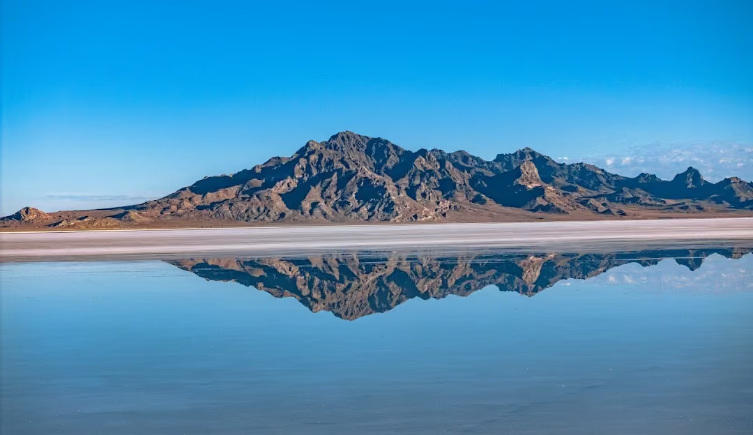
According to a report from the National Weather Service in Salt Lake City issued Saturday, September 5, 2026, critical fire weather conditions are concentrated primarily across the West Desert and the Great Salt Lake Desert. In these areas, humidities have been observed dropping below 15 percent, creating highly combustible environments.
Wind and Storm Risks
Wind conditions are expected to exacerbate fire risks throughout the weekend. The National Weather Service reported that strong wind gusts across areas primarily west of Interstate 15 will range from 30 to 45 mph each afternoon into Sunday. Furthermore, thunderstorms are expected to bring strong, gusty, and erratic winds to the region.
Historical Resource Mobilization
The current fire threat follows a period of significant regional activity. Historically, the Great Basin Geographic Area Coordination Center has been responsible for mobilizing resources such as airtankers, bulldozers, engines, and crews to manage incidents throughout the Great Basin. This includes coordinating efforts across various dispatch centers, such as those in Moab, Utah, and Richfield, Utah.
County Fire Restrictions
Tooele County officials have previously implemented measures to mitigate fire risks. On August 29, 2026, the City of Tooele announced specific fire restrictions to help manage the threat posed by dry conditions and high winds.
Forecasted Precipitation
Weather patterns may offer some relief to the region as moisture begins to move into Utah. The National Weather Service forecast indicates that a moisture surge will arrive Sunday, bringing widespread showers and thunderstorms across the state, particularly in central and southern Utah. The highest rainfall totals are expected in the higher terrain of central and southern Utah, while lower elevation areas further east may see higher isolated totals from stronger storms.
Long-Term Outlook
Despite the anticipated rain, the National Weather Service warned that a drying trend is expected to develop Monday and Tuesday. While Sunday may bring precipitation to parts of the state, areas for lower lying regions west of Interstate 15 may see only a trace or less of precipitation. Following the midweek moisture surge, dry conditions are expected to return through the middle of next week.