Multiple flood watches have been issued for much of southern Utah and parts of central and eastern Utah as an atmospheric river and a cold front are forecast to collide over the state this weekend. The National Weather Service expects moderate to at times heavy precipitation beginning late Saturday and lasting through most of Sunday.
Weekend Precipitation Forecast
The National Weather Service's Salt Lake City and Grand Junction, Colorado offices issued the watches for the Utah regions, which are scheduled to go into effect late Halloween night and last through most of the rest of the weekend. In southeastern Utah, the watches are expected to last through Monday morning.
Both weather offices agree that moderate to at times heavy precipitation is expected within the highlighted regions starting late Saturday. The alerts warn that excessive runoff may result in flooding of rivers, creeks, streams, dry washes, and slot canyons. Low-lying and flood-prone locations, such as slickrock areas and recent burn scars, are also at risk.
Early Rainfall and Warnings
Scattered showers and thunderstorms are forecast across the state ahead of the weekend, particularly in southern, central, and eastern Utah on Friday. Some moisture is also expected to reach the Wasatch Front in the afternoon and evening, with isolated showers possible across the state on Halloween, Saturday.
In Washington County, a flood warning was issued for the upper Santa Clara River in Pine Valley, which remains in effect through 9 p.m. Between 0.5 inches and 1 inch of rain has already fallen in the area, and another 1 to 1.5 inches is possible over the next few hours. The National Weather Service stated that flooding of the upper Santa Clara River in Pine Valley, downstream to just below Baker Reservoir, is imminent or occurring.
Mountain Snow and Valley Rain
The bulk of the incoming moisture is expected on Sunday and potentially early next week, specifically along the Wasatch Front, northern Utah, and southern Utah, according to KSL meteorologist Matt Johnson. KSL weather models updated on Friday indicate that 1 to 3 inches of precipitation may fall in most mountain areas.
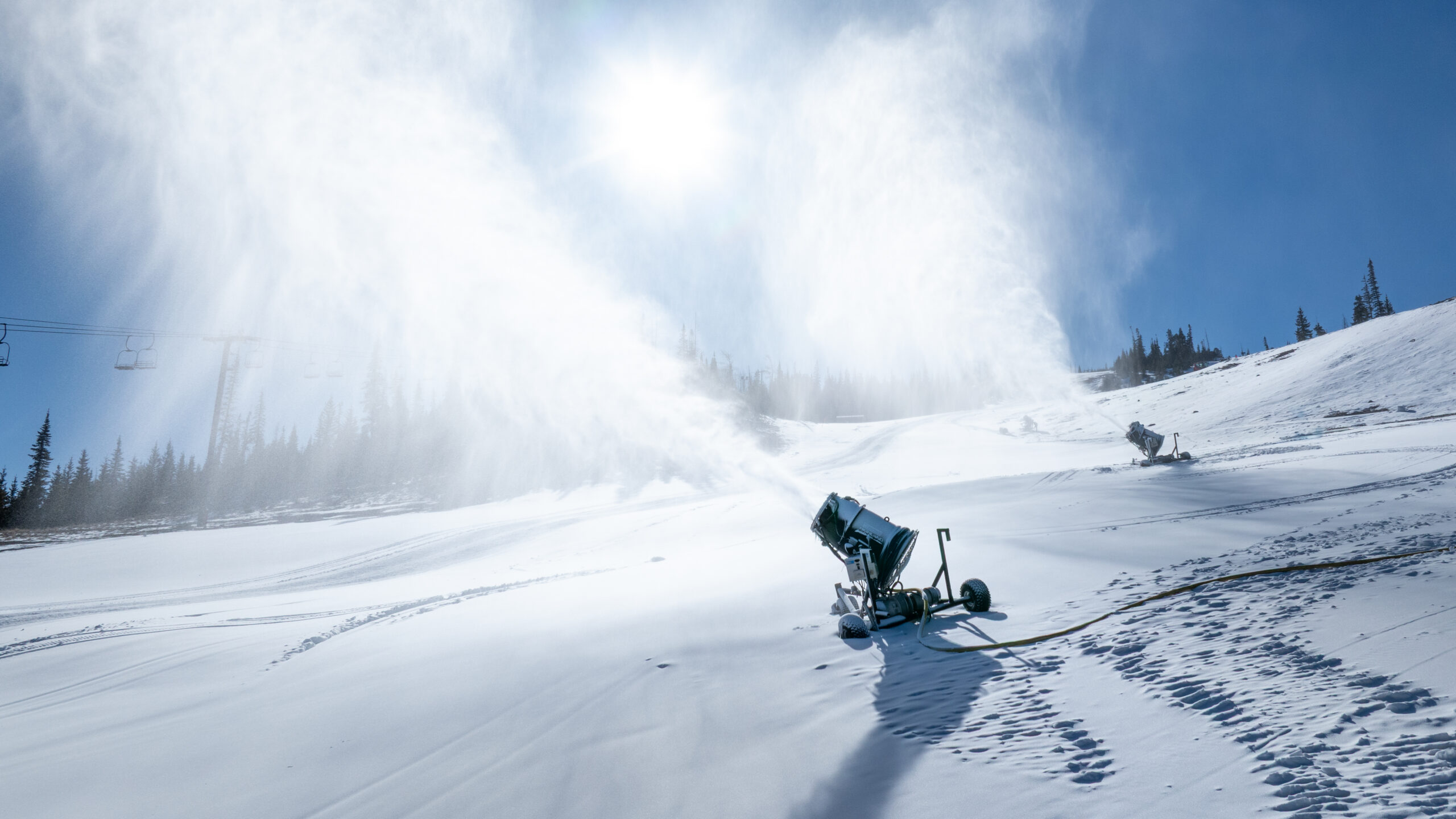
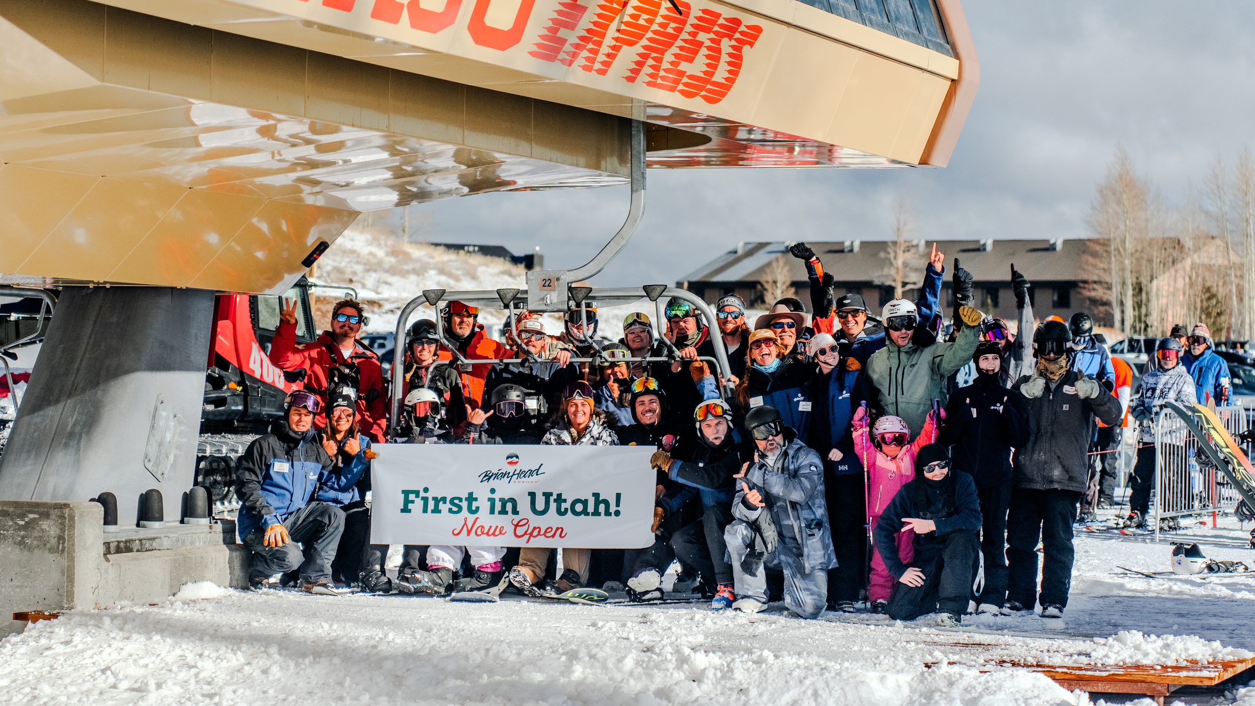
Higher elevation areas face significant snow accumulation due to the cold front. Most higher mountain areas have the potential to receive 4 to 8 inches of snow, though Brian Head could see upwards of a foot. The upper Cottonwood Canyons could receive between 8 and 16 inches, while the Uintas may receive even higher totals. Many valley locations are expected to receive at least 0.5 inches of precipitation, with more than an inch possible in the Wasatch Front, northern Utah, and southern Utah.
Ongoing Recovery Efforts
These weather patterns arrive as parts of southern Utah continue to deal with the aftermath of recent storms. Lt. Gov. Deidre Henderson toured flood-damaged communities in San Juan County on Thursday, where some families remain unable to return to their homes due to recent flooding.
In southwest Utah, Hurricane declared a state of emergency over flash flooding on Oct. 22. Erin Walter, a hydrologist for the National Weather Service's Grand Junction office, noted that officials are concerned about impacts across the San Juans, where the region is still recovering from a previous system that caused widespread minor to major flooding impacts.
Future Risk Assessment
The National Weather Service noted that the probability of excessive rainfall is currently slight across southern Utah, but it has become moderate within the southeast corner, including Monticello, and the rest of the Four Corners region.
All current flood watches can be elevated to warnings depending on where the strongest precipitation develops. The National Weather Service indicated that the incoming patterns could impact the same areas that experienced flooding last week.
Weather Resources
Full seven-day forecasts for areas across Utah are available through the KSL Weather Center or via the KSL Weather app.