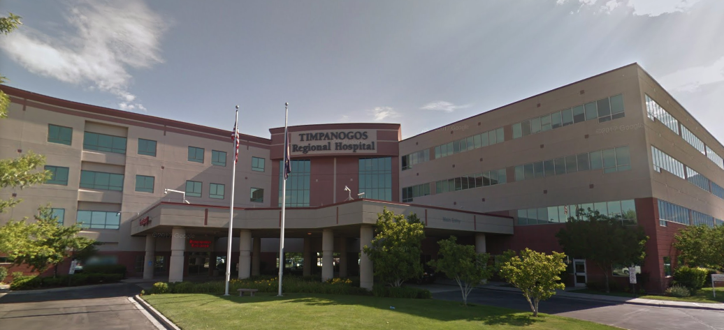
Timpanogos School District is moving forward with a boundary study that could impact dozens of educational facilities, including several elementary schools and junior highs, according to a district update released August 30, 2026. The study comes as the district evaluates its current geographic configurations amid ongoing demographic shifts.
Impacted Schools and Facilities
The potential redistricting effort includes a wide array of institutions within the district. Based on the latest district information, the scope of the study could affect elementary schools such as Aspen, Bonneville, Cascade, Centennial, Central, Cherry Hill, Foothill, Grovecrest, Lindon, Manila, Mount Mahogany, Northridge, Orchard, Orem, Parkside, Rocky Mtn., Trailside, Vineyard, Westmore, and Windsor.
Beyond elementary facilities, the study's implications extend to junior high schools, including Canyon View, Lakeridge, Oak Canyon, Orem, and Pleasant Grove. At the secondary level, the district is looking at configurations involving Mountain View, Orem, Pleasant Grove, and Timpanogos high schools. The district also maintains several adult education and online programs, such as Alpine Online, ATEC, Bridgepoint, Dan Peterson School, East Shore Online, Horizon School, Silver Peak, Summit, and TTEC.
Legal Requirements for Boundary Changes
The process for altering school boundaries is governed by specific state statutes. According to the Utah Code, any changes involving the creation, consolidation, division, or dissolution of a school district requires formal notification.
Under Section 53A-2-101.5, a county legislative body is required to file a written notice with the lieutenant governor within 30 days of any action affecting school district boundaries. This notice must be accompanied by an accurate map or plat of the affected areas, which must be prepared and certified by a local surveyor and filed with the county surveyor.
Legal Certification Process
The legal finalization of such changes depends on executive certification. Per the Utah Code, once the lieutenant governor issues a certificate, the changes affecting the boundaries of an existing or new school district take legal effect.
This legal framework ensures that all shifts in district lines are documented and verified through coordinate geometry and legal descriptions. Such precision is necessary as these boundaries serve as tax entities and define the service areas for public education.
State Data Management
The management of these boundaries involves coordination between several state agencies. Data regarding Utah school district boundaries is maintained by the Utah Geospatial Resource Center (UGRC) and the Lieutenant Governor's Office.
This data is collected through contributions from the Utah State Tax Commission, the Utah State Board of Education, and the UGRC. These boundaries are essential for various state functions, as they define the geographic limits of school districts and are used for planning and resource allocation.
Ongoing District Evaluation
The current district update provides a list of the institutions under consideration as the study proceeds. While the district has identified the specific schools that fall within its jurisdiction, the study aims to determine how these boundaries may need to evolve to meet the needs of the student population.