The Babylon Fire grew to more than 96,500 acres across federal lands southwest of Monticello by Monday, remaining 0% contained as firefighters worked to protect nearby communities. The blaze has burned through portions of the Bears Ears National Monument and the Manti-La Sal National Forest since its start on June 26.
Evacuation Preparations and Damage
According to the U.S. Forest Service-Manti-La Sal National Forest, fire activity increased Sunday as the flames spread toward the northeast. This movement prompted the San Juan County Sheriff's Office to place six evacuation zones west of Monticello into SET status, advising residents to prepare for potential evacuations if conditions deteriorate.
Firefighting Tactics and Resources
The wildfire has destroyed five structures since it began approximately 25 miles southwest of Monticello. While the cause of the fire remains unknown, crews are currently focused on maintaining indirect containment lines and suppressing portions of the fire where conditions permit.
Infrastructure and Personnel
Firefighters are utilizing drones equipped with infrared cameras to identify hidden heat sources along the northern flank of the fire. As reported by Moab Times, these aerial observations allow hand crews to safely target specific areas for extinguishment.
Roads and Structure Protection
As of Sunday, 913 personnel were assigned to the incident, including 24 hand crews, 34 engines, nine helicopters, two dozers, and five water tenders. Ground crews and heavy equipment are working to strengthen containment features and clear vegetation along the southern and western edges of the fire.
Weather Forecast and Land Closures
Efforts to protect Monticello include refining structure protection plans to the east and reinforcing containment features along Blue Mountain Road, Harts Draw Road, and Highway 211. Officials noted Sunday evening that firefighters are specifically targeting these corridors to prevent further spread toward the city.
Public Land Closures
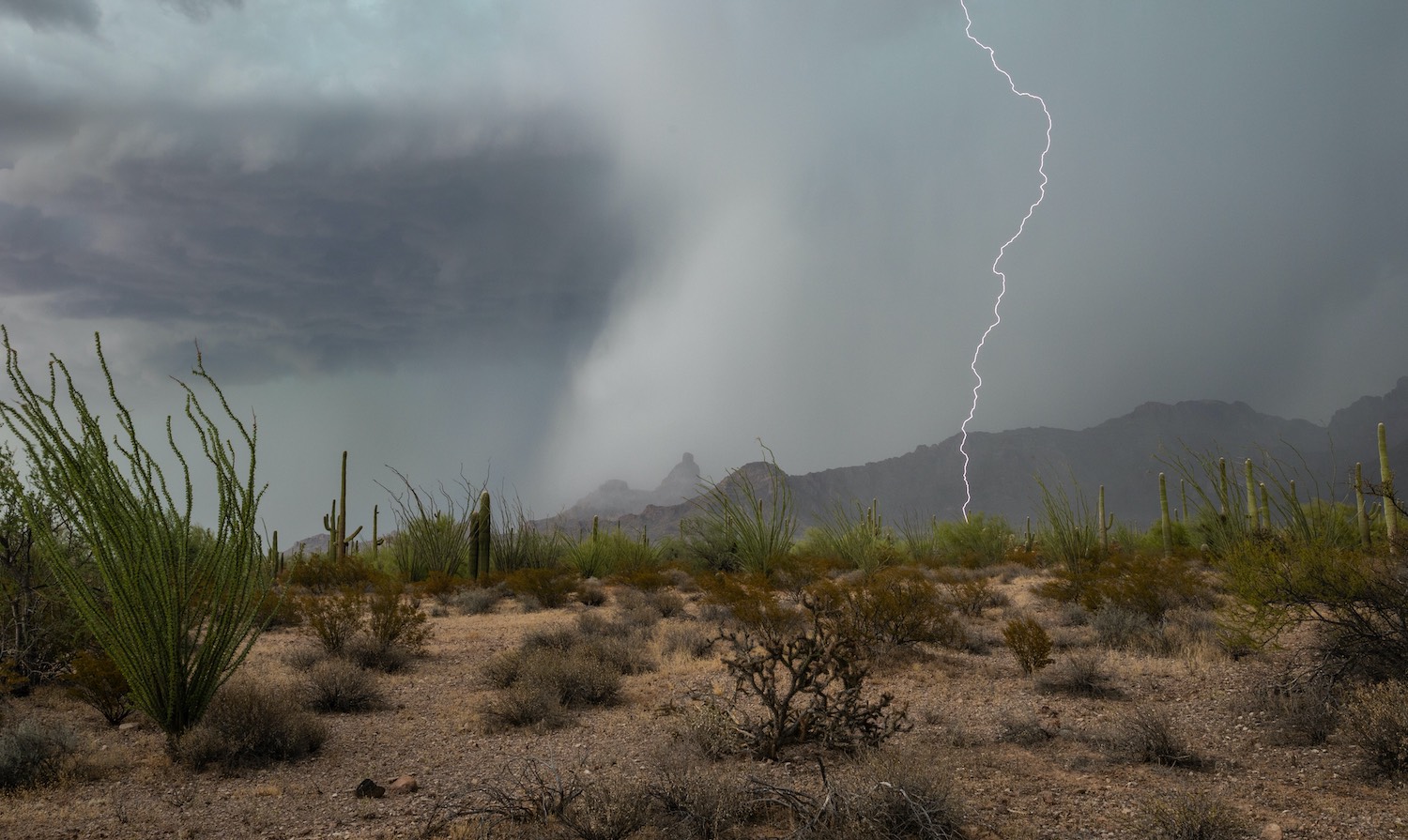
Extremely hot and dry conditions are expected to persist, with increasing winds forecasted for later this week. The U.S. Forest Service warned that unstable atmospheric conditions could create pyrocumulus clouds, which may produce lightning, sudden downdrafts, and erratic winds.
Ongoing Restrictions
Extensive land closures remain in effect across the region. The U.S. Forest Service has closed the entire Monticello Ranger District, and the Needles District of Canyonlands National Park also remains closed. Additionally, the Bureau of Land Management has closed all managed lands west of Harts Draw Road, including areas such as Shay Mesa, Beef Basin, Dark Canyon, and Sweet Alice.