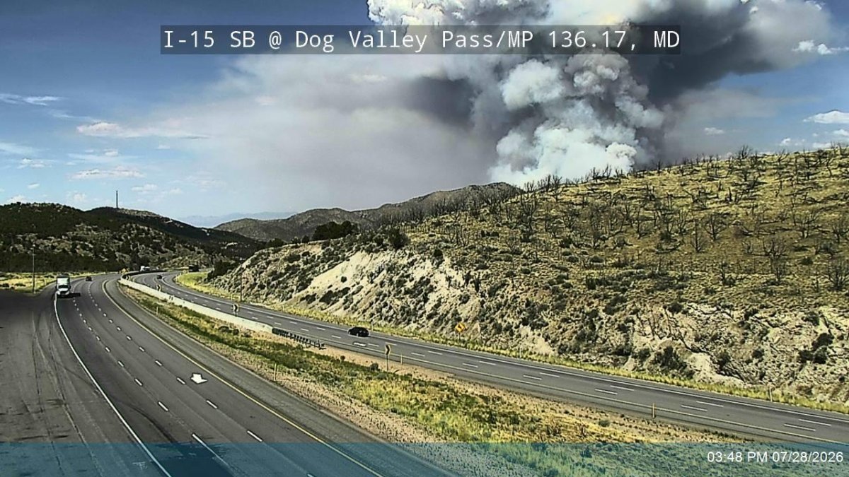
Fire conditions are becoming increasingly critical across the Great Basin as hot and dry weather moves eastward. According to a July 29, 2026, brief from the Great Basin Coordination Center, the weakening monsoon is allowing drier air to move into most of the region, including eastern areas that recently experienced monsoonal showers and thunderstorms.
Strong high pressure is building across the Great Basin, leading to above normal midsummer temperatures. By the end of the 7-day period, most areas will likely be at or above the 90th percentile for fuel dryness, which is considered critical for large fire potential.
In Utah, several fires are being monitored. The Babylon fire, located 25 miles southwest of Monticello, covers 107,189 acres. The Stookey fire, 7 miles west of Vernon, covers 11,881 acres, with threats noted to critical infrastructure, a natural gas pipeline, high voltage power lines, and the town of Vernon. The Cottonwood fire, 5 miles east of Beaver, covers 97,464 acres, with potential threats from flooding, debris flow, and saturated hazard trees. Additionally, the Adams fire, 5 miles southwest of Ogden, was reported as 100% contained on July 29, 2026.
A high risk for winds and low relative humidity has been issued for the Central Idaho Mountains through the weekend, driven by a strong cold front approaching from the northwest. This front may bring winds of 25-35 mph over rapidly drying fuels.
Overall fire activity in the Great Basin includes 20 new fires totaling 643 acres. Resource commitment remains high, with various crews and aircraft assigned to ongoing large fires across the region.
The Great Basin Coordination Center reported that fire danger has increased significantly across much of Idaho and Wyoming. As the monsoon fades and shifts eastward, existing large fires will have the opportunity for continued growth due to the drying fuels.