High risk conditions for gusty winds and low relative humidity have been issued for parts of Idaho, Wyoming, and northern Utah for Saturday and Sunday. According to a July 31, 2026, briefing from the Great Basin Coordination Center, a strong dry cold front is expected to bring winds of 30-40 mph and relative humidity between 8% and 15% over rapidly drying fuels.
The region is experiencing a shift as monsoonal moisture fades and hot, dry weather spreads eastward. Very dry air is moving into most of the Great Basin, including eastern areas that previously saw monsoonal showers and thunderstorms. Strong high pressure is building across the region, bringing above normal midsummer temperatures that may approach record levels.
Fire potential is increasing as fuels continue to dry steadily across Nevada, Utah, and the Arizona Strip. Officials noted that by the end of the 7-day period, most areas will likely be at or above the 90th percentile and considered critical for large fire potential. The current fire activity includes 15 new fires totaling 1,111.8 acres.
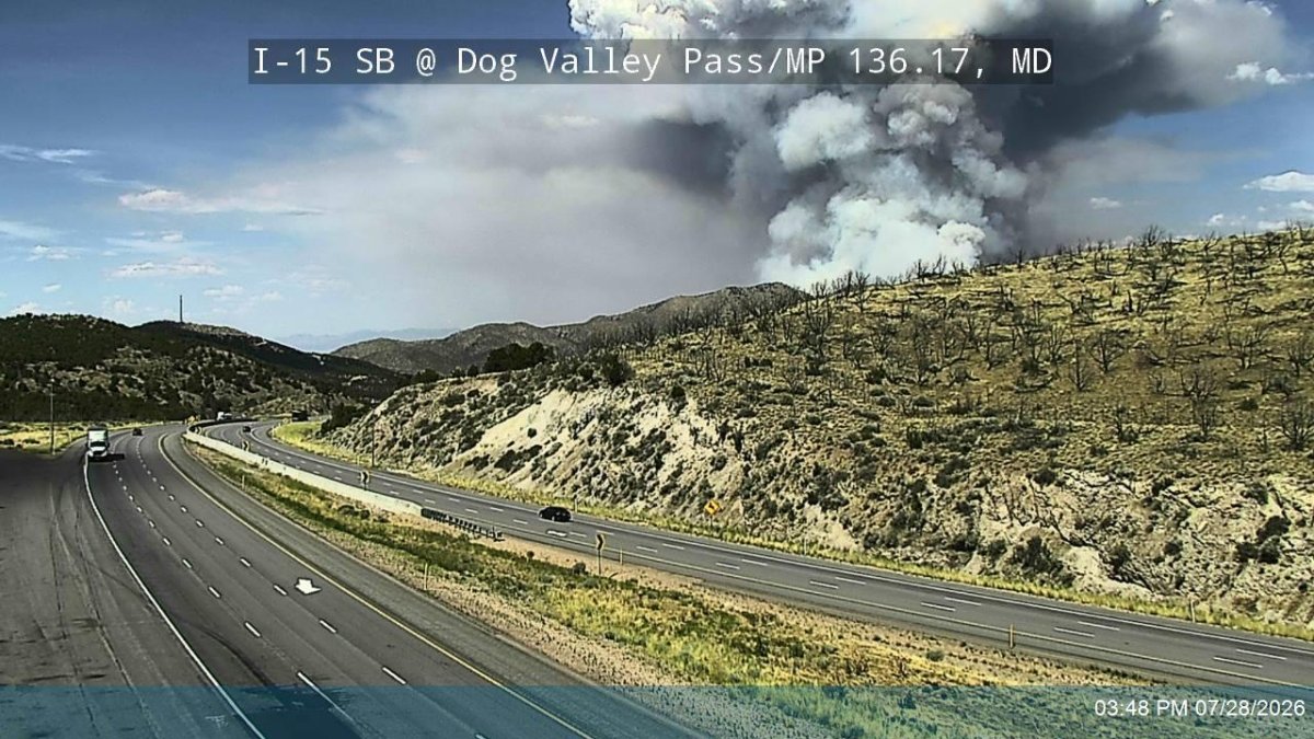
In Utah, existing large fires include the Cottonwood fire near Beaver, which covers 97,464 acres, and the Babylon fire 25 miles southwest of Monticello, covering 107,189 acres. The Cottonwood fire faces threats from flooding, debris flow, and saturated hazard trees, though officials stated it may decrease based on predicted weather and mop up efforts.
The next opportunity for monsoon moisture to return could be in the southern half of the region mid to late next week. This moisture may bring additional ignitions before becoming beneficial, following a week of very hot and dry weather.