Utah has broken the record for the most wooded and forested acres burned in a single year, according to University of Utah geographers, as the state's historic 2026 fire season continues to unfold. The analysis, released August 5, 2026, reveals that flames have blackened a record 285,000 acres of woodlands and forest, a trend driven by high temperatures and stubborn drought.
Unprecedented Forest Loss
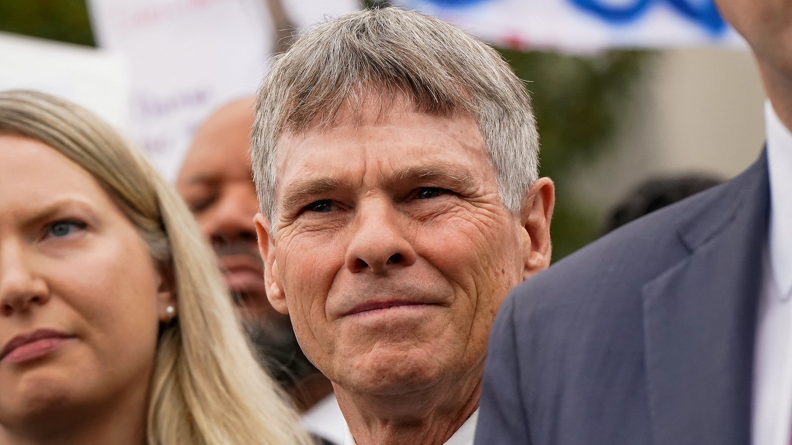
The scale of destruction in the 2026 season is unprecedented for Utah's tree cover. Phil Dennison, a professor in the University of Utah's School of Environment, Society & Sustainability, noted that the state has seen three individual fires that each burned more than 60,000 acres of trees this year. This phenomenon has never occurred before in the state's history. To put the magnitude into context, Dennison stated there have been only seven fires since 1986 that burned more than 60,000 acres of combined woodland and forest.
Key Fires Driving Records
The University of Utah's analysis, conducted by Dennison and colleague Mickey Campbell, identifies several key fires that have driven these records. The Babylon fire, which burned more than 100,000 acres in San Juan County, pushed Utah past its previous record for the amount of mid-elevation woodland acreage burned in a single season. Additionally, the 97,000-acre Cottonwood fire, which spanned the Tushar Range and destroyed more than 150 structures around Eagle Point Resort east of Beaver, has moved Utah near the state record for high-elevation forests burned in a single season.
Long-term Burning Trends
The current fire activity follows a long-term trend of increasing intensity. According to Dennison, who directs the Utah Remote Sensing Applications (URSA) Lab, 27% of the forest and 20% of the woodland that has burned in Utah since 1986 has occurred within just the last three years. Furthermore, 10% of Utah's high-elevation forest has burned within the last 10 years. This increasing frequency has raised concerns regarding ecosystem and economic impacts, including the potential for flash flooding, a risk observed during the Cottonwood fire last month.
Atmospheric and Radiative Impacts
While forest loss is a primary concern, the fires have also had significant atmospheric impacts. Atmospheric scientist Derek Mallia reported that the Babylon fire unleashed a plume on July 6 that climbed 11.5 kilometers above the ground, penetrating the stratosphere. This type of cloud, known as a pyrocumulonimbus or pyroCb, is among the highest ever recorded over a Utah wildfire. Additionally, the Cottonwood fire achieved an unprecedented radiative power of 180 gigawatts on June 23, the day after its ignition, which Mallia noted was the highest recorded from a Utah fire.
Ecosystem Vulnerability
The intensification of these fires is occurring within a vulnerable landscape. Together, mid-elevation woodlands and high-elevation forests cover 23% of Utah's land cover, representing approximately 8.5 million acres. These ecosystems are vital for the state's water supplies, recreation economies, and wildlife habitats. Utah's woodlands typically consist of shorter trees like pinyon pines, junipers, and Gambel oak, while higher elevations are dominated by taller species such as aspen, pines, firs, and spruce. The boundary between these two ecosystems generally sits around 7,500 feet above sea level.
Risks in the Wildland-Urban Interface
The complexity of managing these risks is highlighted by the dangers of the Wildland-Urban Interface (WUI). The Utah Division of Forestry, Fire and State Lands defines the WUI as the zone where human development meets undeveloped wildland or vegetative fuels. This zone poses significant risks to life, property, and infrastructure, creating one of the most complicated situations for firefighters. The state emphasizes that safety in these areas is a shared responsibility between citizens, owners, developers, and various levels of government.
Mitigation and Management Strategies
To mitigate these risks, the state utilizes Community Wildfire Preparedness Plans (CWPPs) to outline strategies for addressing wildfire threats. These plans require collaboration between local governments, fire departments, and the Utah Division of Forestry, Fire and State Lands. Effective plans prioritize hazardous fuel reduction—targeting trees, shrubs, and grasses—and address the structural ignitability of homes through hardening and defensible space. While fire can offer ecosystem benefits, such as clearing fuel and reinvigorating species like aspen and lodgepole pines, the current scale of the 2026 season presents unprecedented challenges.