A brief period of sun and mild temperatures across the Salt Lake Valley on Wednesday, November 18, 2026, will give way to a major storm system bringing rain and snow to the valley and heavy snow to the mountains on Thursday and Friday.
Wednesday Offers Sun Reprieve
The weather in Salt Lake City is expected to remain mostly sunny on Wednesday, November 18, 2026, with temperatures reaching a high near 44 degrees and southeast winds around 6 mph. However, skies are expected to turn mostly cloudy by Wednesday night, with temperatures dropping to a low near 34 degrees before the next weather system arrives.
Rain and Snow Return Thursday
The incoming storm system is expected to bring rain and snow to the valley beginning Thursday, November 19, 2026. For Thursday, the high is expected to reach approximately 44 degrees with southeast winds between 3 and 9 mph. The weather is forecast to remain cloudy through Friday, November 20, 2026, which is expected to be the coldest and wettest part of the system, with a 100% chance of precipitation and a high near 41 degrees.
Mountain Snow Accumulation
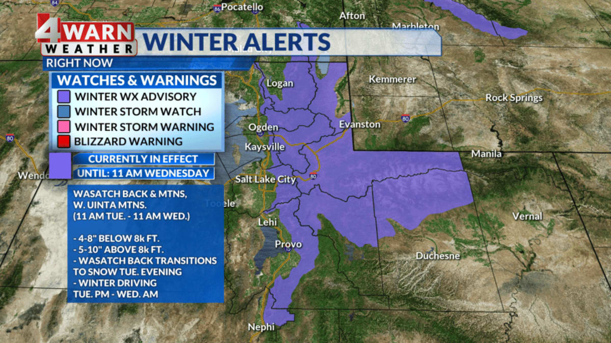
While the Salt Lake Valley may see little or no snow accumulation, colder air could push snow levels toward or below 5,000 feet by Friday, November 20, 2026. This shift increases the likelihood of wintry conditions along canyon roads, benches, and higher-elevation routes. In the northern Utah mountains, the system could bring 6 to 12 inches of snow, with locally higher totals possible near the upper Cottonwoods.
Alta Conditions and Forecast
At Alta, a storm that brought heavy snow on Tuesday has cleared, and no active National Weather Service alerts are in effect this morning. While a Winter Weather Advisory was in place previously, the forecast for Alta indicates a sunny but cold day on Wednesday, November 18, 2026, with a high near 27 and a low near 23. A significant storm is expected to arrive for Alta on Thursday and Friday, potentially bringing 3 to 5 inches of snow during the day on Thursday and another 7 to 11 inches Thursday night. Friday is expected to bring an additional 8 to 12 inches during the day and 2 to 4 inches Friday night, totaling between 20 and 32 inches for the two-day period if the forecast holds.
Travel and Road Conditions
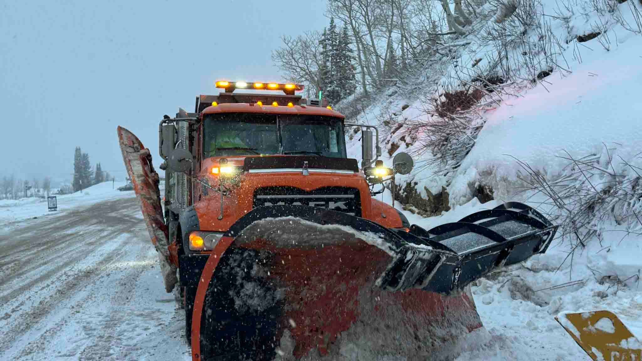
Travelers should prepare for potentially snowy and slow driving conditions on Thursday, November 19, 2026, and Friday, November 20, 2026. Traction rules may be implemented in the Cottonwoods during the storm. Travelers are advised to check UDOT for updates and allow extra time for canyon traffic and snowplow activity. Currently, no specific restrictions for SR 190 or SR 210 have been confirmed.
Resort Opening Status
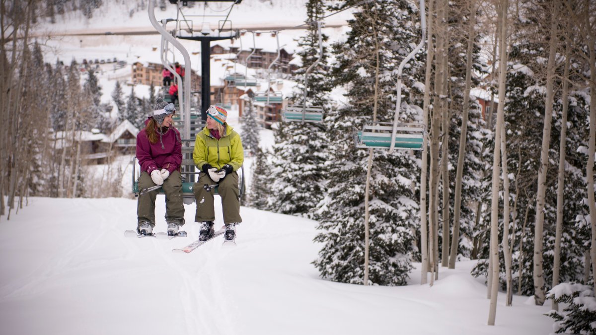
The winter season is seeing varied activity across Utah's ski resorts. Brian Head is currently open for its second day of the season, having opened Tuesday with six trails off the Navajo Express lift, including Paradise, The Strip, and Fremont. Other resorts remain closed: Alta, Snowbird, Brighton, Solitude, Deer Valley, Snowbasin, and Powder Mountain. Solitude is scheduled to open on Friday, November 20, 2026, while Park City's opening date is currently listed as to be announced, though Vail Resorts is still targeting November 20, 2026.
Weekend Outlook
Looking ahead to the weekend, Saturday, November 21, 2026, is expected to be mostly cloudy with a high in the mid-40s. Sunday, November 22, 2026, should remain mostly cloudy with a high near 45 degrees, followed by another chance of snow arriving Sunday night and continuing into Monday, November 23, 2026.