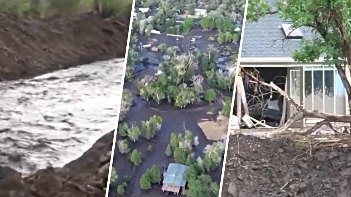
The Beaver County Sheriff’s Office has issued a request for property owners impacted by the Cottonwood Fire to submit information through an online portal to prepare for official damage assessments. The agency stated it currently has no information regarding the condition of homes, cabins, or land in the fire's path and is not accepting general property checks at this time.
Current status of property assessments
Officials noted that the office is receiving hundreds of inquiries regarding property status, which is slowing administrative processes and emergency operations. Field personnel are currently dedicated to life safety, active evacuations, and supporting wildland fire crews.
Instructions for submitting loss information
Because the Cottonwood Fire remains highly active, deputies cannot yet enter the canyon to conduct structural assessments. To prepare for when the area becomes safe, property owners are asked to submit information through the online Witness Statement portal as if they have lost property in the wildfire.
How data will be utilized
This process will allow the agency to build a database for official assessments. Once forms are submitted, properties will be added to a master Incident Command map. When the Incident Management Team declares a sector safe for law enforcement, teams will check coordinates and contact owners directly via the provided phone number or email.
Required details for form submission
When submitting the form, officials requested that users type COTTONWOOD FIRE PROPERTY LOSS in all caps at the top of the Incident Description box to ensure proper routing. Owners should provide exact physical addresses, parcel numbers, or GPS coordinates, along with brief driving directions if the property is on unnamed or private forest roads.
Visual descriptions for ground crews
A one-sentence visual description of primary buildings is also requested to help ground crews verify property status through heavy smoke.
Guidelines for communication and updates
The Sheriff's Office requested that individuals do not submit multiple forms for the same parcel and asked that phone lines remain clear for active emergency dispatches. For high-level updates on fire acreage and containment, officials recommend monitoring Fishlake National Forest official feeds or the Watch Duty tracking app.