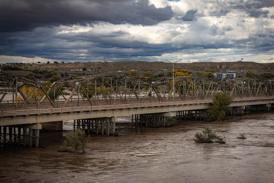
An atmospheric river is driving significant and historic flooding across southeast Utah and southwest Colorado, triggering flood warnings and a Particularly Dangerous Situation for the San Juan River. The National Weather Service warned Sunday, Nov. 1, 2026, that heavy rainfall and saturated soils have increased the risk of debris flows, mudslides, and major river flooding throughout the region.
Severe River Flooding Forecasts
The National Weather Service issued a Flood Watch for southeast Utah and southwest Colorado that remained in effect through Monday morning, Nov. 2, 2026. This watch accounts for saturated soils and excessive rainfall that may produce localized flooding and debris flows near susceptible washes, arroyos, and burn scars. In the San Juan River basin, the San Juan River at Pagosa Springs was forecast to reach major flood stage, a development that prompted a Particularly Dangerous Situation Flood Warning for that area.
In addition to the major flooding concerns in the San Juan River, several other rivers across southwest Colorado are expected to reach minor flooding stages. Targeted River Flood Warnings have been issued for the La Plata, Mancos, San Juan, and Navajo rivers due to the forecasted volume of water expected to pass through those basins. In New Mexico, the San Juan River at Shiprock is expected to rise above flood stage late Monday, Nov. 2, 2026, reaching a crest of 16.5 feet late Monday evening before falling below flood stage Tuesday morning, Nov. 3, 2026.
Displacement and Water Quality Risks
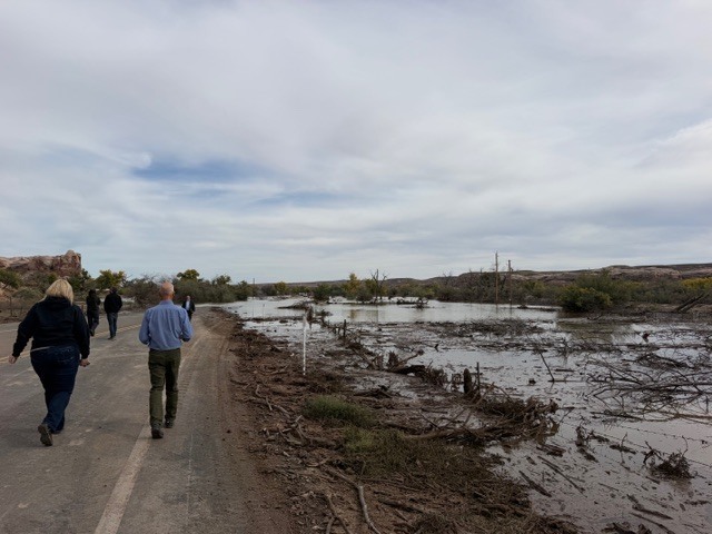
The flooding has already caused significant disruption in southern Utah. According to the Utah Division of Emergency Management, monsoonal rains throughout October have led to emergency flooding incidents in both the southeastern and southwestern parts of the state. In Bluff, Utah, flooding has displaced seven families and four businesses.
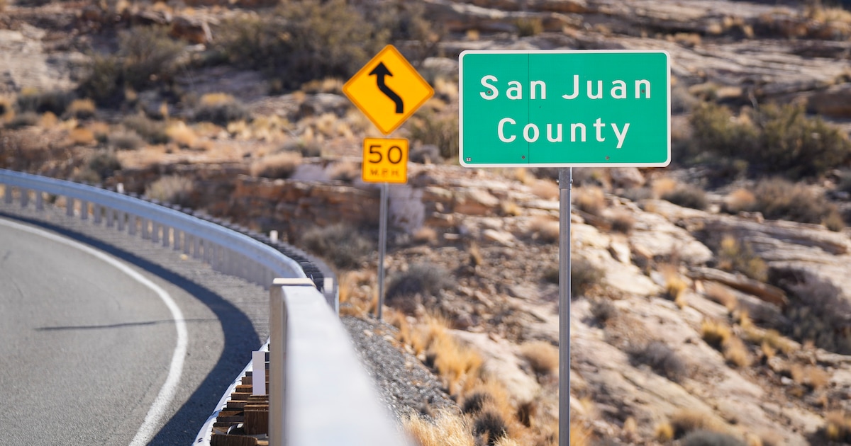
In San Juan County, flood waters from the San Juan River have overrun sewage treatment lagoons. This has caused raw sewage to enter flooded areas, leading the San Juan County Public Health Department to issue a warning for residents to stay out of the San Juan River until further notice. The warning advises against letting people or animals drink from the river. The Utah Department of Environmental Quality is currently supporting San Juan County Public Health with messaging regarding water quality issues and the E. coli discovered in the river.
Impacts in Zion National Park
The National Weather Service in Salt Lake City reported that flooding is occurring or imminent in West Central Kane County and East Central Washington County, specifically within Zion National Park. The North Fork of the Virgin River has been running very high for several hours, with a latest measurement of almost 2,300 cfs on the USGS North Fork of the Virgin river gauge. Additionally, several slot canyons within Zion Canyon are running very high.
Heavy rainfall has been detected via Doppler radar and automated rain gauges, with between 1 and 3 inches of rain having fallen in the warned area. The heaviest rainfall has occurred in the upper headwaters of the North Fork of the Virgin River, including the upper Narrows. An additional 0.5 inches of rain may be possible in the area through Sunday evening, Nov. 1, 2026.
State Agency Response
The Utah State Emergency Operations Center was elevated to Level 3: Enhanced Support at 8 p.m. on Oct. 30, 2026, to manage the ongoing crisis. During a visit to Bluff and Hurricane on Oct. 29, 2026, Lieutenant Governor Deidre Henderson met with leaders from various state agencies to address the emergency. During the visit, she received requests for state agencies to mobilize manpower, water pumps, and Utah Department of Transportation trucks to build a gravel road to access families stranded by the breach of the San Juan River.
The Navajo Nation has published a Monsoon 2026 information webpage containing safety information and advisories for the region. Utah Department of Transportation has also offered to support the Navajo Nation with various road repairs as part of the regional response.
Recovery and Outlook
Looking ahead, the National Weather Service forecast indicates that conditions will dry out for a few days behind the current system as high amplitude ridging moves overhead. While highs are expected to remain 5 to 10 degrees below normal for early November, a quick-moving clipper system may bring light showers to the region mid-to-late next week.
DEM recovery staff are scheduled to participate in a disaster recovery meeting with San Juan County on Friday, Nov. 6, 2026. In the meantime, emergency management officials continue to urge residents and travelers to "turn around, don't drown" when encountering flooded roads, noting that most flood deaths occur in vehicles.
Arizona Flooding Reports
In Arizona, flooding caused by excessive rainfall continues in Gila, Coconino, and Yavapai counties. Emergency management reported significant flooding in and around the Tonto Creek basin following rainfall totals of between 2 and 4 inches. This has resulted in flooded structures and the closure of several highways, including State Route 260, State Route 188, and State Route 87.