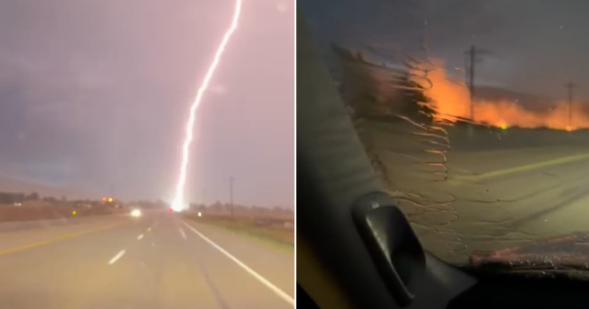
The Cherry Fire has grown to cover 34,252 acres across Juab and Tooele Counties, according to the latest incident data from InciWeb, as fire management teams coordinate responses between the expanding Cherry Fire and the nearing-containment Iron Fire.
Rapid Initial Expansion
The wildfire, which was first reported at approximately 10:30 a.m. on Friday, June 26, 2026, experienced a rapid expansion during its initial stages due to extreme fire weather. The blaze, located roughly six miles southwest of Highway 36 and 29 miles southwest of Santaquin, burned primarily through grass, sagebrush, and scattered juniper.
During its first few hours on June 26, the fire made a significant run, stretching approximately 11 miles from south to north. The intensity of the movement prompted Great Basin Complex Incident Management Team 3 to take command of the Cherry Fire at 6:00 a.m. on Saturday, June 27, as they were already overseeing the nearby Iron Fire.
Coordinated Fire Response
As of July 15, 2026, fire officials have achieved 93% containment on the Cherry Fire. The Great Basin Complex Incident Management Team 3 has been managing a coordinated response for both the Iron and Cherry fires. According to an InciWeb daily fact sheet from June 30, 2026, the Iron Fire was nearing full containment, allowing crews to begin repair work and shift critical resources toward suppression and containment efforts on the Cherry Fire.
Incident commanders Todd Murray and Taiga Rohrer have overseen the response, focusing on protecting life and property. Current suppression tactics include direct and indirect line construction, line preparation, and utilizing aviation support when weather conditions permit.
Evacuation Status Changes
The fire has forced several changes to evacuation orders for residents in Juab and Toelo Counties. On June 28, 2026, the Juab County Sheriff's Office announced that residents in Eureka, Mammoth, and Silver City could return to their homes at 12:00 p.m., as their status was downgraded from 'Go' to 'Set.' This announcement also included the reopening of Highway 6.
In Tooele County, the Tooele Sheriff's Office issued a similar update on June 29, 202, stating that Lofgreen residents could return home at midday as their evacuation status moved from 'Go' to 'Set.' However, officials cautioned that Vernon residents remained in 'Go' status and were instructed not to return to their residences at that time.
Road Closures and Weather Risks
Despite the progress in containment, road closures and potential for renewed fire activity remain significant concerns. As of late June, Highway 36 remained closed from Tintic Junction to a point just west of Brush Creek, and Chimney Rock Pass Road was also closed due to ongoing fire activity and emergency operations.
While fire behavior had moderated during the final days of June due to cooler temperatures, officials warned that the return of hotter and drier weather later in the week could jeopardize progress. Such shifts in weather conditions have the potential to trigger new evacuation levels, changes to re-entry decisions, and further road closures.
Official Information Channels
The Bureau of Land Management's West Desert District Office continues to manage the incident. Residents are urged to rely on official communication channels, including the Utah Fire Info Facebook and X pages, the Juab County Sheriff’s Office, and the Tooele County Emergency Management Alerts, for the most accurate information regarding re-entry and safety.