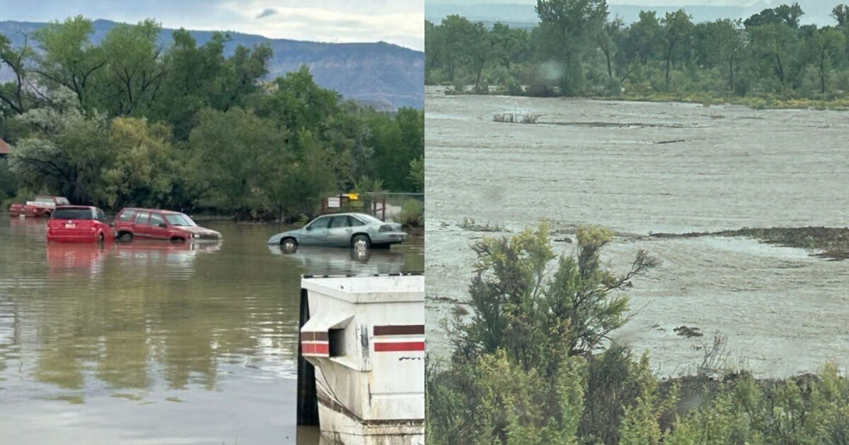
The National Weather Service in Salt Lake City issued a flash flood warning for south-central Utah on Monday, Aug. 24, 2026, after thunderstorms triggered mudslides and rockfalls in Bryce Canyon National Park. High water flows were reported on the upper reaches of the Paria River, creating life-threatening conditions in slot canyons and washes.
Mudslides and Rockfalls Reported
National Park Service personnel reported mudslides and rockfalls within Bryce Canyon National Park on Aug. 24, 2026, following earlier thunderstorms. According to a flash flood statement from the National Weather Service, these geological shifts occurred alongside heavy rainfall, with up to 2 inches of rain falling primarily over the national park.
Affected Areas in Garfield and Kane
The flooding caused significant impact in southwestern Garfield County and north-central Kane County. The National Weather Service noted that flash flooding was already occurring in several areas as of late afternoon on Aug. 24, 2026. Specific locations identified as being at risk include areas near Sheep Creek, the Paria River, Bull Valley Gorge, Willis Creek, and Herm Pollock Slot Canyon.
Road Closures and Local Impact
As the National Weather Service in Salt Lake City reported via X, the warning on Aug. 24, 2026, included Tropic, Utah, Bryce Canyon City, and Bryce Canyon itself. Additionally, the agency noted that Skutumpah Road would become impassable in certain spots due to the conditions. The warning for these areas was set to remain in effect until 6:45 PM MDT on Aug. 24, 2026.
Downstream Flood Movement
The flood threat extended downstream toward the Paria River. At 4:07 PM MDT on Aug. 24, 2026, the public reported high flows on the upper reaches of the Paria River south of Tropic. This flood wave was expected to move downstream past Highway 89 and into the Lower Paria River Canyon, according to the National Weather Service.
Expanding Flood Warnings
The National Weather Service warned that a separate flash flood warning was issued for downstream areas along the Paria River, specifically located below the confluence with Cottonwood Creek. This development followed earlier radar-indicated thunderstorms that produced heavy rain across portions of Bryce Canyon National Park, with flows likely extending down Sheep Creek and the Paria River.
Safety Precautions and Hazards
Authorities emphasized the life-threatening nature of the flooding, noting that dry washes, streams, and rivers can become raging killer currents in a matter of minutes, even from rainfall occurring in distant locations. The National Weather Service advised the public to turn around rather than driving through flooded roads, noting that most flood-related deaths occur in vehicles. Campers and hikers were specifically urged to avoid streams or creeks during these weather events.
Historical Context
This weather event follows a period of significant activity in the region, including a flash flood warning issued on March 2, 2026, which affected the same general area of southern Utah.