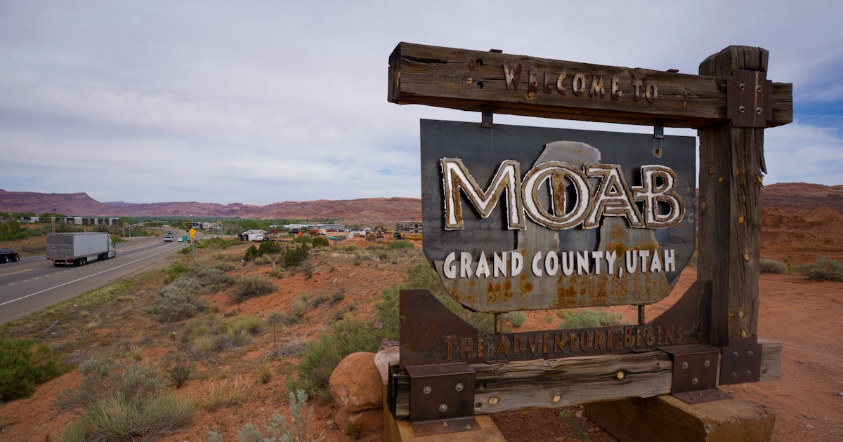
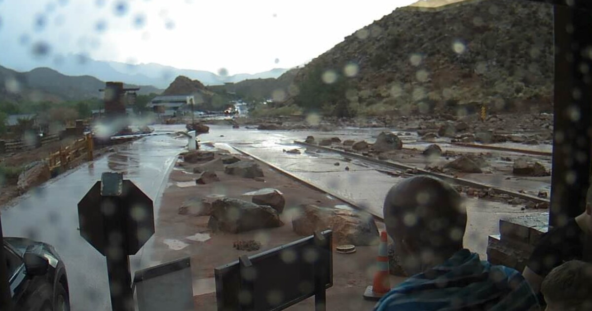
The National Weather Service in Grand Junction, Colorado, has issued a wind advisory and a hydrologic outlook for an area four miles east of Moab, Utah. The forecast includes a 40 percent chance of showers and thunderstorms this afternoon.
For this afternoon, conditions are expected to be partly sunny with a high near 69 degrees. South winds are expected around 15 mph, with gusts reaching as high as 35 mph.
Tonight, the forecast calls for scattered showers and thunderstorms, primarily after 2 a.m. The sky will be mostly cloudy with a low around 57 degrees. Breezy conditions are expected with a south wind between 20 and 25 mph and gusts as high as 45 mph. The chance of precipitation is 30 percent.
On Columbus Day, there is a 50 percent chance of showers and thunderstorms. The weather is expected to be mostly cloudy with a high near 70 degrees. South winds will be around 20 mph, with gusts as high as 40 mph.
Monday night may bring showers and a possible thunderstorm, with a low around 52 degrees. South winds will be around 15 mph with gusts as high as 30 mph, and the chance of precipitation is 80 percent.
Tuesday is expected to see showers and a possible thunderstorm before 9 a.m., followed by showers between 9 a.m. and noon. Showers are likely after noon, with a high near 62 degrees. South southwest winds will range from 10 to 15 mph with gusts up to 30 mph. The chance of precipitation is 90 percent.
Tuesday night expects showers and a possible thunderstorm, with a low around 44 degrees and a 60 percent chance of precipitation.
Wednesday will feature a chance of showers and thunderstorms before 9 a.m., a chance of showers between 9 a.m. and noon, and a chance of showers and thunderstorms after noon. The high is expected to be 58 degrees with a 40 percent chance of precipitation. Wednesday night may include a slight chance of showers before midnight, with a low around 42 degrees and partly cloudy skies.
The weather is expected to clear up later in the week. Thursday will be sunny with a high near 62 degrees, followed by a mostly clear Thursday night with a low around 44 degrees. Friday and Saturday are both forecasted to be sunny with highs in the mid-60s. Sunday is expected to be mostly sunny with a high near 67 degrees.