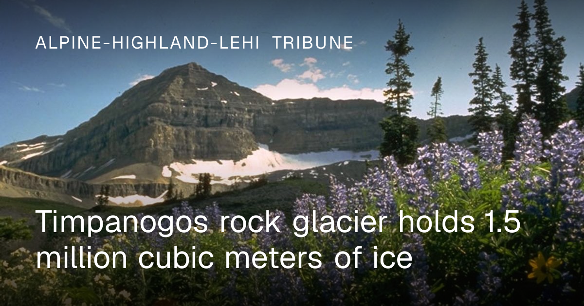
University of Utah researchers estimate the Timpanogos Rock Glacier contains 1.5 million cubic meters of ice, according to a study published August 26 in the Journal of Geophysical Research: Earth Surface. The formation sits in a cirque overlooking communities along the Wasatch Front between Salt Lake City and Provo.
The glacier is 83% ice, with loose rock making up the remaining 17%, according to a University of Utah news release carried by the Lehi Free Press. Lead author Bronson Cvijanovich, a former graduate student in the University of Utah's Department of Geology & Geophysics, described the formation as surprisingly ice rich. The ice body reaches up to 150 feet deep at its thickest point, while the average thickness is approximately 62 feet. The rock glacier moves downhill at a rate of 8 to 20 centimeters per year.
To map the sub-surface, Cvijanovich led six expeditions to the site during the fall of 2024. The team hiked approximately five miles with a 3,500-foot elevation gain while transporting a gravimeter to measure density differences between rock and ice. They collected readings at 232 grid points spaced roughly 80 feet apart. Co-author Michael S. Thorne, a University of Utah geophysics professor, stated the team spent months performing computations after the fieldwork to build a 3D map of the buried ice body.
A companion study indicated that Utah's rock glaciers formed over thousands of years as rockfalls buried persistent snow, rather than being leftovers from the Ice Age. The overlying loose rock acts as insulation that shields the ice from warming temperatures. Leif Anderson, a University of Utah glaciology professor who oversaw the study, noted that the protective layer makes rock glaciers climate-resilient water storage sites. Based on measurements at Timpanogos and 10 other rock glaciers, researchers estimated Utah's 836 known rock glaciers may hold about 1 gigaton of water.