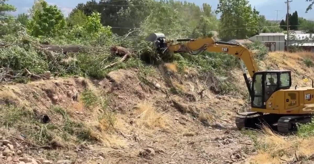
The south end of Kanosh was placed on "set" status for potential evacuation on Saturday after the Widemouth 2 Fire exploded to 5,000 acres with 0% containment. Erratic winds and high temperatures have driven the blaze, prompting a massive multi-agency response to protect residents and public lands.
Rapid Fire Growth and Response
The Millard County Sheriff's Office reported Saturday that the fire has grown rapidly due to extreme weather conditions. According to Sheriff Steve O'Camb, the combination of erratic winds and high temperatures caused the fire to reach 5,000 acres. As of Saturday, fire containment remains at 0%.
To combat the growing blaze, the Sheriff's Office stated that every available resource is being deployed. The response includes 150 fire personnel on the ground, including hand crews and heavy machinery. Air support is also actively engaged, with multiple airplanes performing retardant drops to assist ground crews.
Multi-Agency Coordination
The current emergency situation has triggered a large-scale coordination effort involving multiple levels of government. The Millard County Sheriff's Office confirmed that federal, state, and local fire agencies are working alongside the Utah Highway Patrol and sheriff's office deputies.
In addition to standard law enforcement and fire personnel, the "Jeep Posse" is assisting with the response efforts. The mobilization of these diverse resources highlights the intensity of the Widemouth 2 Fire as it continues to pose a threat to the Kanosh area.
National Forest Closures
In anticipation of the fire's impact on public lands, the U.S. Forest Service issued a formal closure order for the Fishlake National Forest. The order, signed by Forest Supervisor Michael Elson, was implemented on July 29, 2026, at 17:00 to protect public health and safety during the fire and the subsequent containment process.
Detailed Area Restrictions
The closure order, designated as Order Number 0408-26-11, covers a significant portion of the Fillmore Ranger District. The restricted area begins at the administrative Forest boundary and follows Forest Road 106 south to its intersection with Forest Road 108. From there, the boundary extends west along Forest Road 108 to Bull Valley, then west of Forest Trail 338 to the Narrows, and west along Forest Road 108 to the administrative Forest boundary at Dog Valley.
The boundary then moves north and east along the administrative Forest boundary back to the intersection of the administrative Forest boundary and Forest Road 106. This closure prohibits entering or being in the area, as well as traveling on specific roads and trails within the designated zone.
Specific Road and Trail Closures
The Forest Service has identified several specific roads and trails that are now closed to the public. The list of closed roads includes 106, 108, 433, 488, 489, 879, 881, 109, 447, 890, 892, 893, 894, 2260, 2261, 2262, 2263, and 2257, 2258. Additionally, trails 155, 345, 338, 502, 344, 334, 504, 500 are also closed under the order.
Penalties for Violations
Violations of the Forest Service order carry significant penalties. Under the current regulations, a violation is punishable as a Class B misdemeanor. Individuals may face fines of up to $5,000, while organizations could face fines of up to $10,000. Convictions may also result in imprisonment for up to six months.
Closure Duration and Exemptions
The Forest Service has established a timeline for the closure, which is currently scheduled to remain in effect until October 15, 2026, unless it is rescinded earlier. Exemptions to the order are limited to persons with a specific Forest Service Permit (No. FS-7700-48) and any federal, state, or local officers or members of organized rescue or firefighting forces performing official duties.