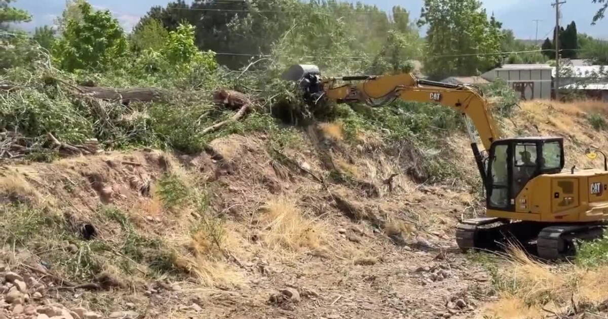
The Widemouth 2 Fire has expanded to 36,438 acres near Kanosh, Utah, growing at an approximate rate of 5,205 acres per day as extreme fire behavior prevents containment. The federally managed blaze, which ignited naturally on July 27, 2026, has prompted a long-term closure of large portions of the Fishlake National Forest to protect public health and safety.
Extreme Fire Behavior and Growth
The wildfire, classified as a Type 3 Incident, is burning through six-foot chaparral fuel in Millard County. According to data from currentwildfires.com, the fire is exhibiting extreme behavior, characterized by torching and short-range spotting that has kept containment at zero percent. As of August 3, 2026, the blaze has consumed more than 36,000 acres.
Satellite Data and National Trends
The scale of the fire's footprint is underscored by recent satellite data. Currentwildfires.com reported that 197 heat detections were picked up over the last 48 hours, illustrating the broad area the fire continues to impact. Despite the intense local activity, the broader national landscape shows a different trend; nationwide, approximately 2,419,113 hectares have burned so far in 2026, which is 56% below the two-decade average.
Forest Service Closure Orders
The U.S. Forest Service has taken significant measures to manage the threat to the public. The Fishlake National Forest issued a formal closure order on July 29, 2026, which remains in effect until October 15, 2026, unless rescinded. This order was signed by Forest Supervisor Michael Elson to ensure safety during the fire and the subsequent containment efforts.
Scope of Restricted Areas
The closure affects a vast area within the Fillmore Ranger District of the Fishlake National Forest. According to a Forest Service order, the prohibited area includes lands and roads spanning from the administrative Forest boundary and Forest Road 106 South to the intersection of Forest Road 106 and Forest Road 108, extending west along Forest Road 108 to Bull Valley. The order also covers the area west of Forest Trail 338 to the Narrows and west along Forest Road 108 to the administrative Forest boundary at Dog Valley.
Roads and Trails Prohibited
Specific infrastructure within the closure zone is also restricted. The Forest Service order prohibits access to several roads and trails, including Forest Roads 106, 108, 433, 488, 489, 879, 881, 109, 447, 890, 892, 893, 894, 2260, 2261, 2262, 2263, 2257, and 2258. Additionally, trails 155, 345, 338, 502, 344, 334, 504, and 500 are closed to the public.
Legal Consequences for Violations
Violating the closure order carries significant legal consequences. Under the Forest Service order, any person entering or being in the restricted area, or using the prohibited roads and trails, is subject to prosecution. Violations are punishable as a Class B misdemeanor, which can result in fines of up to $5,000 for individuals and $10,000 for organizations, or imprisonment for up to six months, or both.
Resource Deployment and Costs
Current firefighting efforts involve a significant deployment of resources. A total of 373 personnel have been assigned to the Type 3 Incident under the direction of a Type 3 Team. As of the latest update, suppression costs for the Widemouth 2 Fire have already reached $5,870,012.