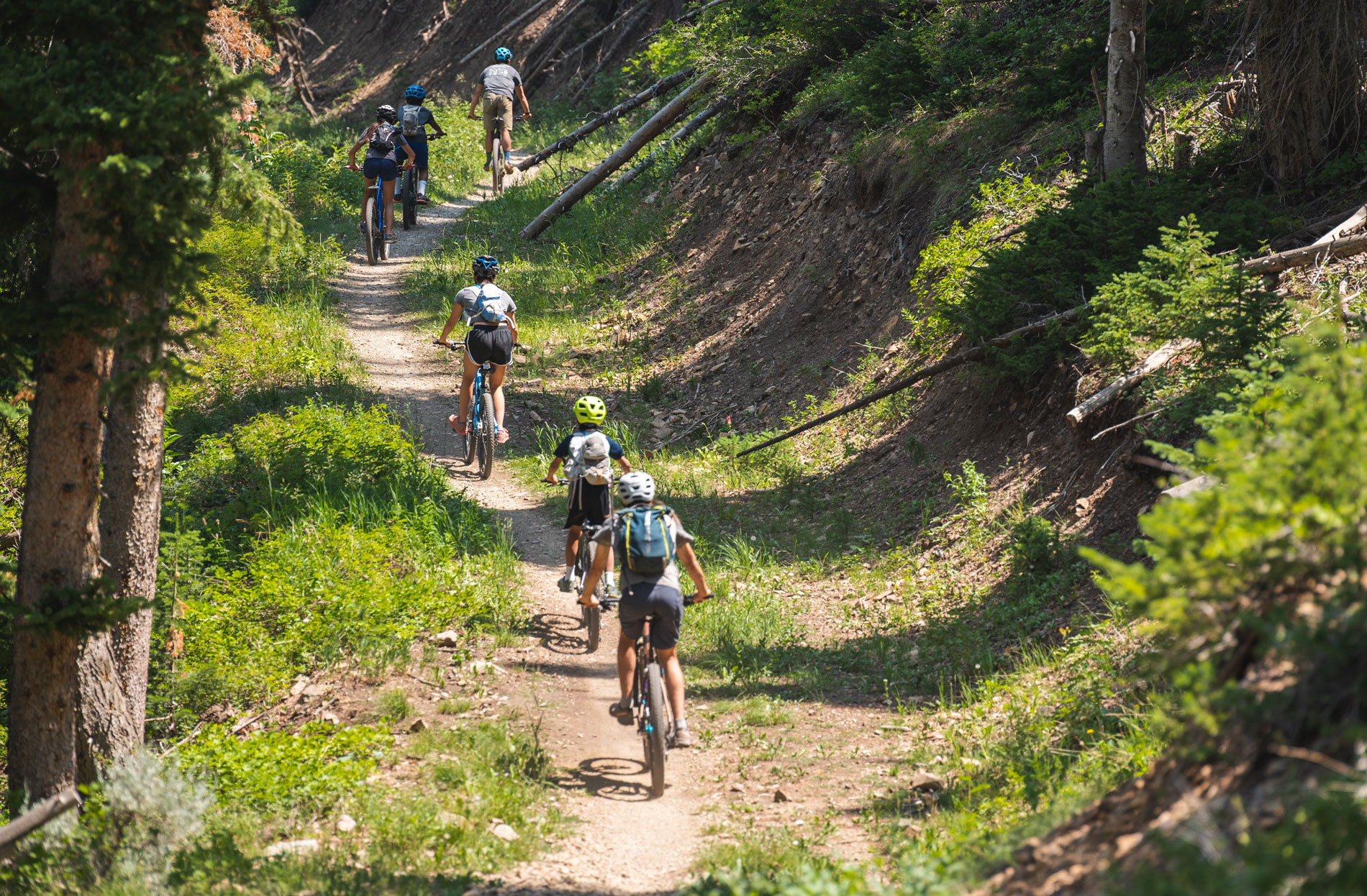
Trail crews in Park City have shifted their focus to lower-elevation trail systems as rapid drying of the terrain limits access to high-altitude routes. The Mountain Trails Foundation is currently navigating the challenges of summer weather and dry conditions to maintain the region's extensive 400-mile singletrack network.
Early Access in Lower Elevations
The accessibility of Park City’s alpine trails, which typically run from June through early November, remains heavily dependent on snowpack and the rate of spring melt. According to the Mountain Trails Foundation, crews must wait until trails are completely dry before they can begin the essential work of clearing winter blow-downs and performing necessary post-winter repairs.
Because of these moisture requirements, lower-lying areas such as Glenwild and Round Valley often become accessible up to six weeks earlier than on-mountain trails. This allows maintenance teams to pivot their efforts toward lower elevations while higher altitudes remain too soft or muddy for heavy work.
Round Valley Maintenance
The Round Valley trail system serves as a primary area for early-season activity. Spanning 2,100 acres of rolling, high-desert terrain, the Round Valley system contains 56 miles of trails. The area features over 50 miles of beginner and intermediate singletrack, alongside wider, soft-surface and paved paths designed for both two-legged and four-legged users.
The Mountain Trails Foundation maintains this specific system, which sits at an elevation of 7,202 feet. In this high-desert environment, dogs are permitted to run off-leash, though the foundation advises users to follow posted signage for the most recent updates and designated off-leash routes.
Current Trail Work
Recent maintenance efforts have focused on specific trail segments and connectors. According to recent updates from the Mountain Trails Foundation, crews have been working their $\text{way}$ down Cyn City and have completed trimming work on Corvair.
Additionally, machine and handwork has continued on the second phase of the connector linking Silver Queen to Loose Moose. While these improvements are ongoing, the foundation has also issued warnings for trail users to utilize detours in certain zones to ensure both public and crew safety during active construction.
Global Recognition
The Park City trail system is recognized globally for its quality, holding the distinction of being the first Gold Level Ride Center in the world as designated by the International Mountain Biking Association (IMBA). The region continues to share this prestigious status with only five other destinations worldwide.
Specific routes within the network have also earned IMBA Epic designation. These include the 26-mile Park City Epic—a combination of Armstrong and Pinecone trails—as well as the Wasatch Crest and Mid Mountain routes.
Weather and Environment
Navigating the Park City trails requires preparation for extreme environmental shifts. The trail system spans a wide range of altitudes, from 6,500 feet to nearly 10,000 feet, encompassing environments ranging from high-desert sagebrush and mountain mahogany to alpine landscapes.
The Mountain Trails Foundation notes that summer weather on the Wasatch Back can be incredibly dynamic. Temperatures in Utah can fluctuate by as much as 40 degrees within a single day. While summer storms are typically brief, they often bring heavy rain, hail, and sudden temperature drops of more than 25 degrees, frequently accompanied by lightning.
For those planning excursions, the Mountain Trails Foundation provides several resources, including interactive maps and the Prime Cuts guide book. The 2026 maps have recently been released, with physical copies being distributed to local bike shops.
The foundation also offers an abbreviated online version of the Prime Cuts guide for free use. Users can access custom interactive maps on the foundation's website year-round, which include suggested routes and a custom route builder tool.
Resources and Advocacy
The Mountain Trails Foundation continues to advocate for universal trail access. The organization also recently promoted an upcoming screening of the award-winning documentary 'Best Day Ever' at the Jim Santy Auditorium in Park City, scheduled for July 25.